Cape Hatteras
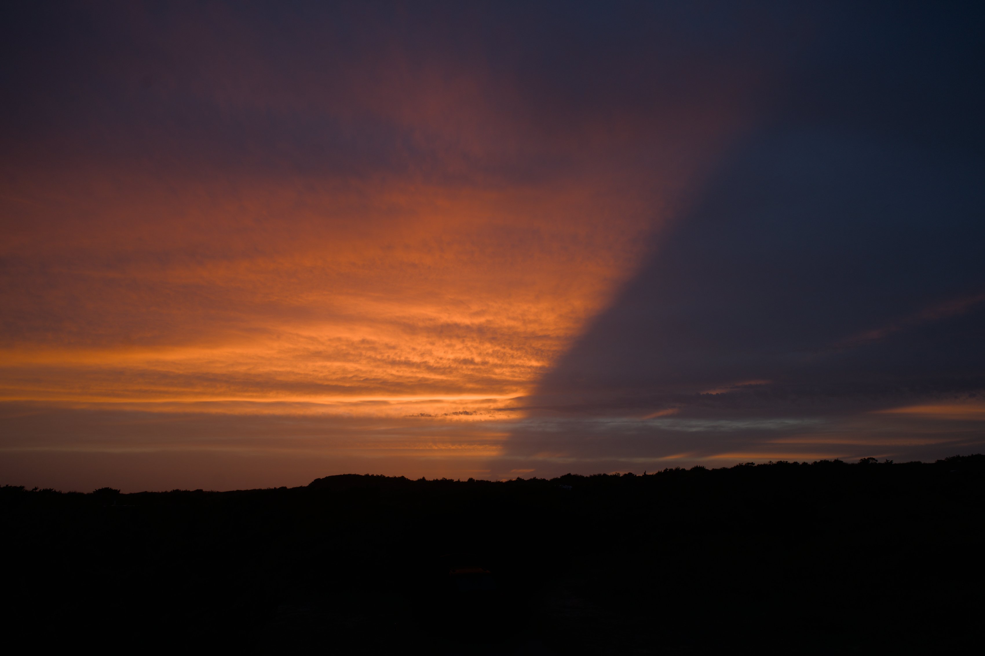
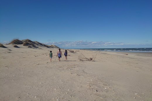
Warmer days at the beach.
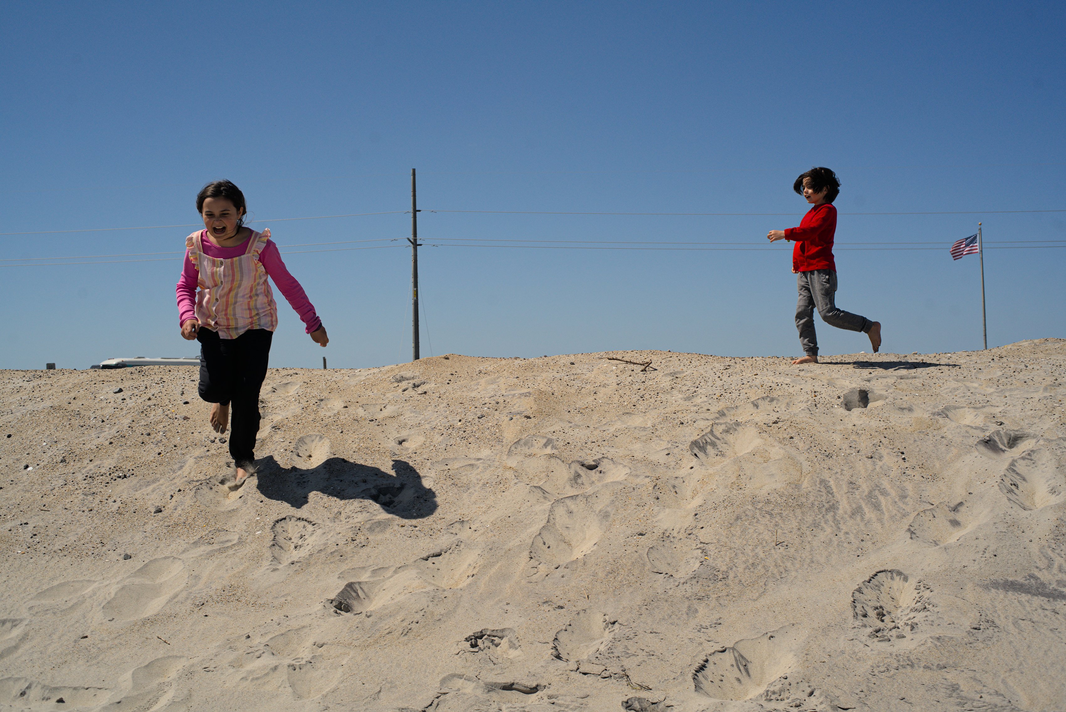
We headed south from Oregon Inlet, across Pea Island to Hatteras Island. It’s not much of a drive, about 45 miles so we stopped off to play on the dunes and get a feel for Pea Island, which is primarily a nature preserve, before heading on to Hatteras.
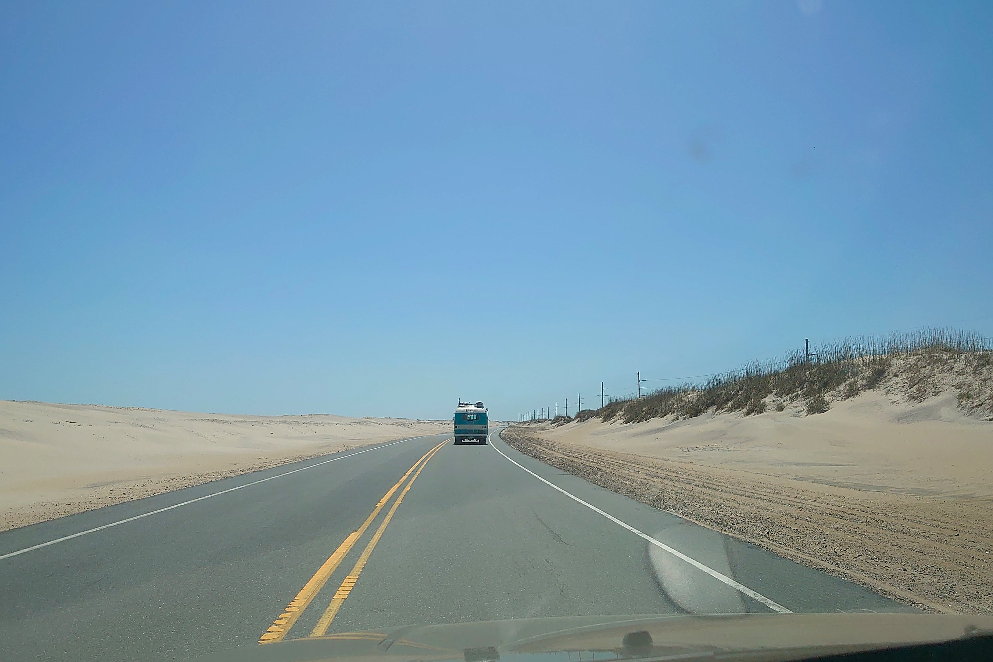
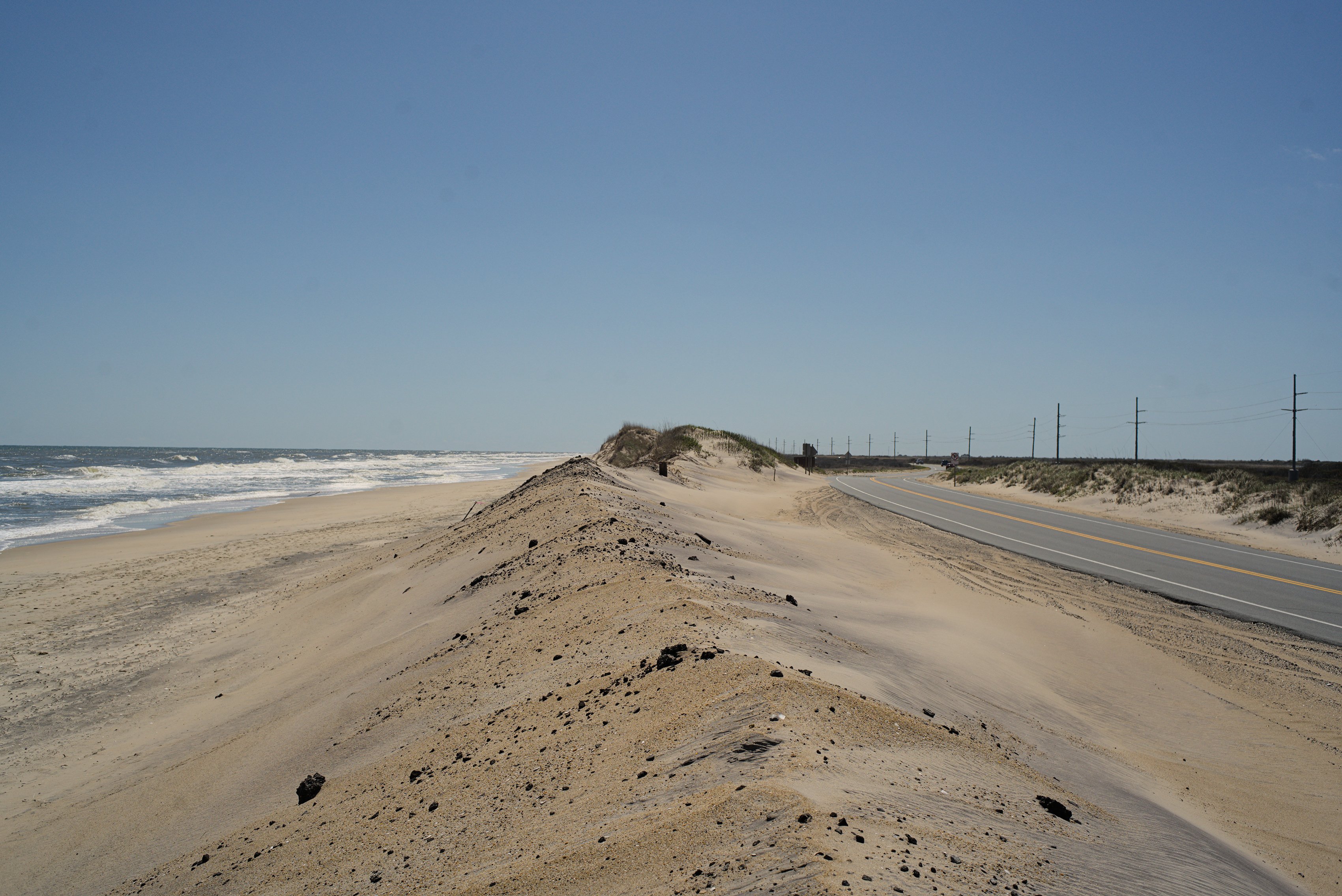
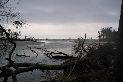
It’s hard to tell when you’re driving — the dunes have been pushed up to form a tall berm alongside the highway — but the ocean is right next to the road. And the bay is not far on the other side. These islands are thin strips of sand miles out in the ocean. It’s amazing they’re here at all when you consider the storms that hit them year after year.
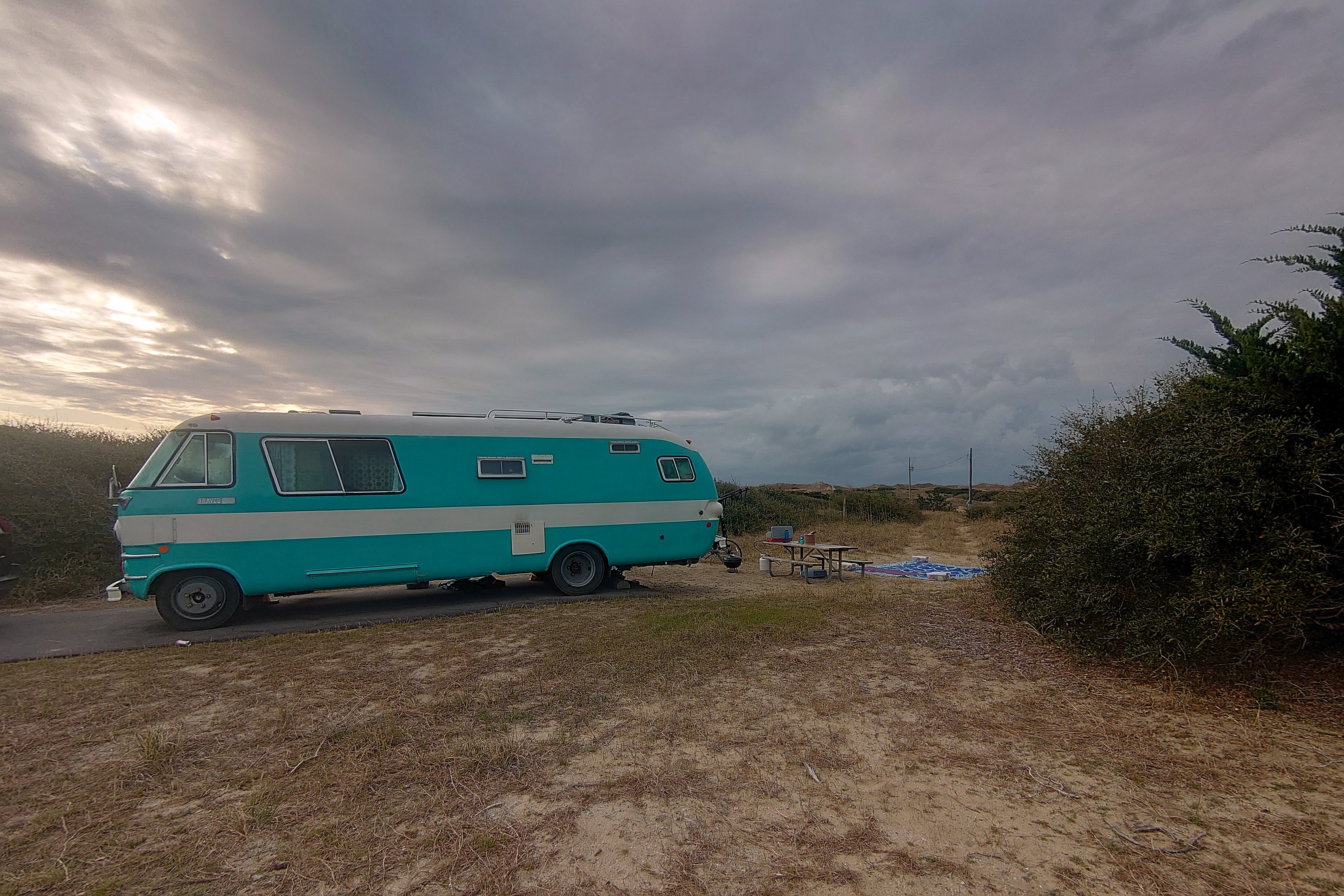
Frisco campground here on the southern shore of Hatteras is much more our speed than Oregon Inlet. Frisco is more up in the dunes, with junipers and cedars — even some small oaks — and plenty of shrubs between campsites. It’s more like what most of us think of when we think of camping. Oregon Inlet is more what you think of when someone says “we’re going to a Phish show.”
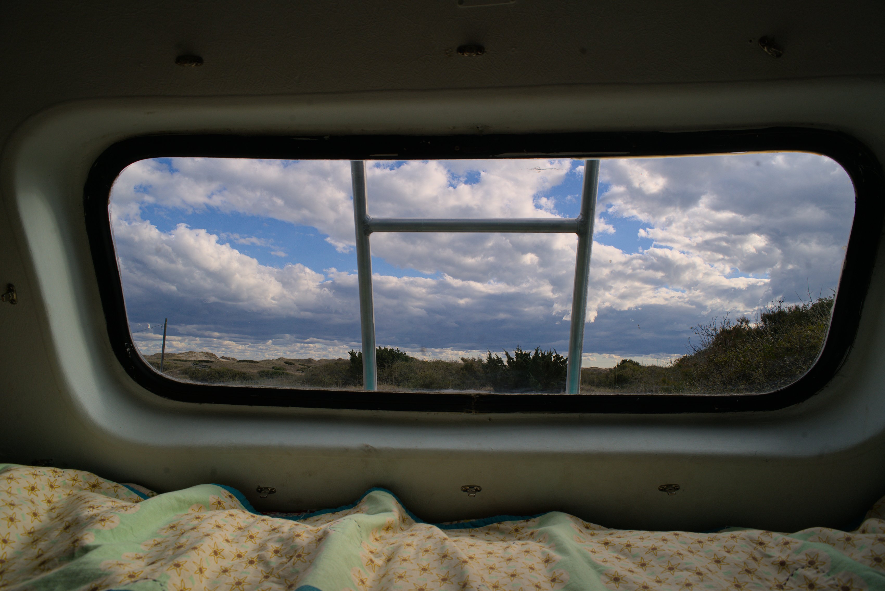
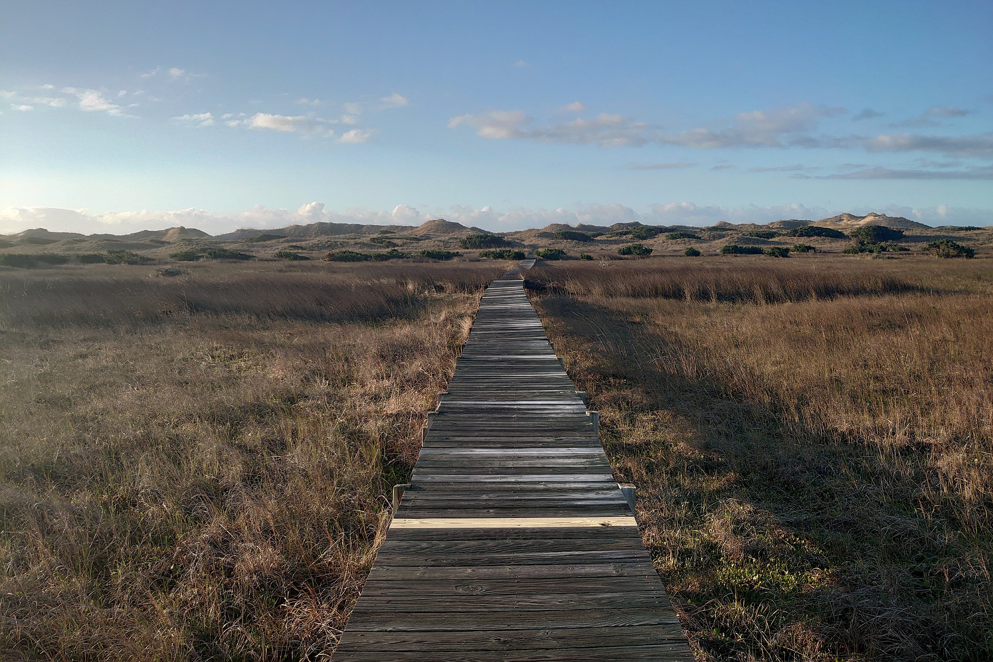
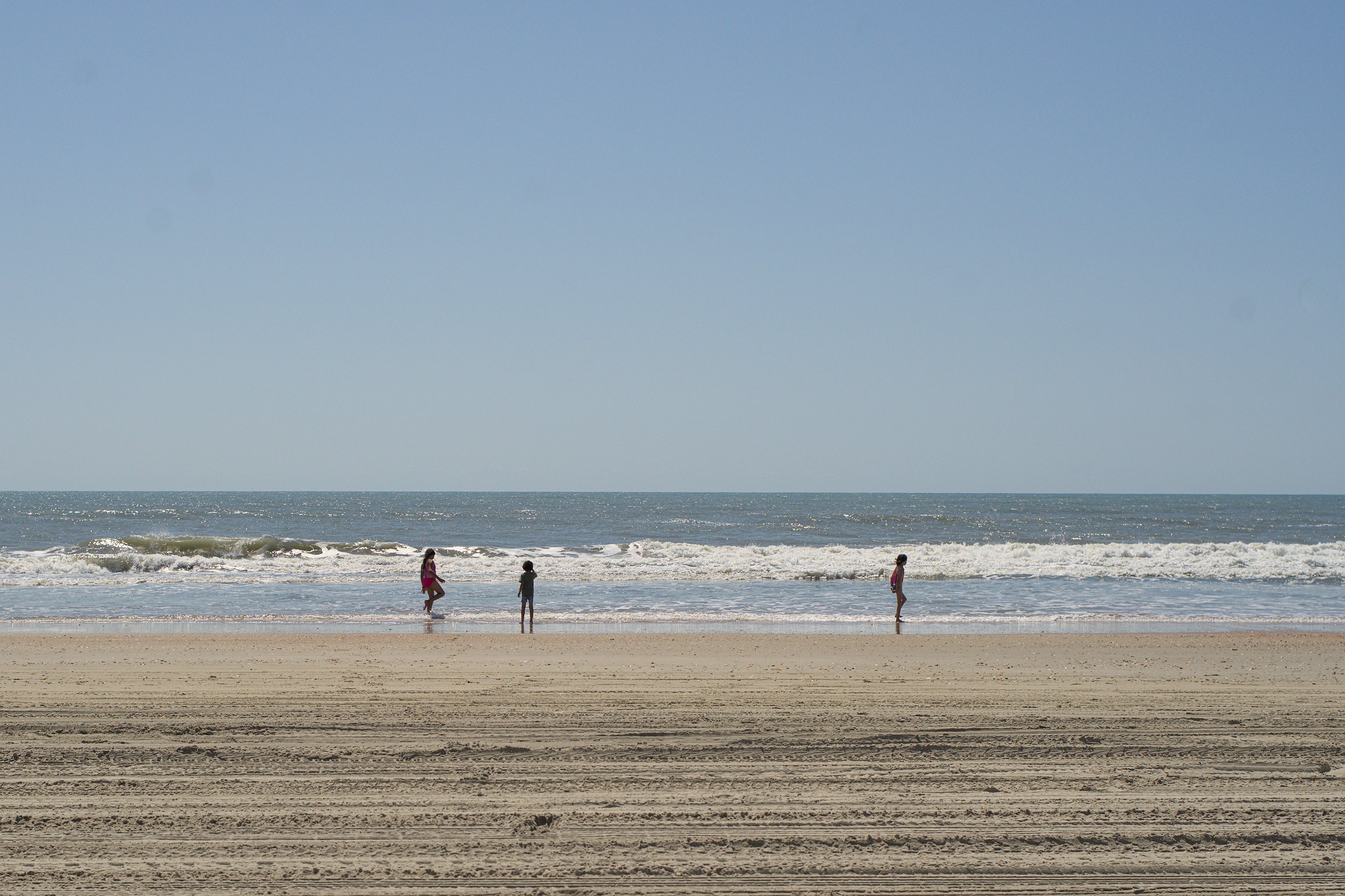
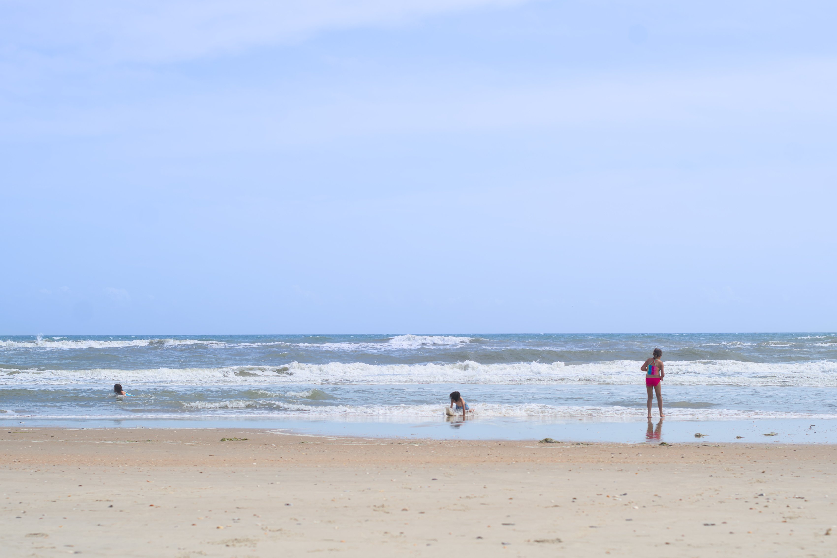
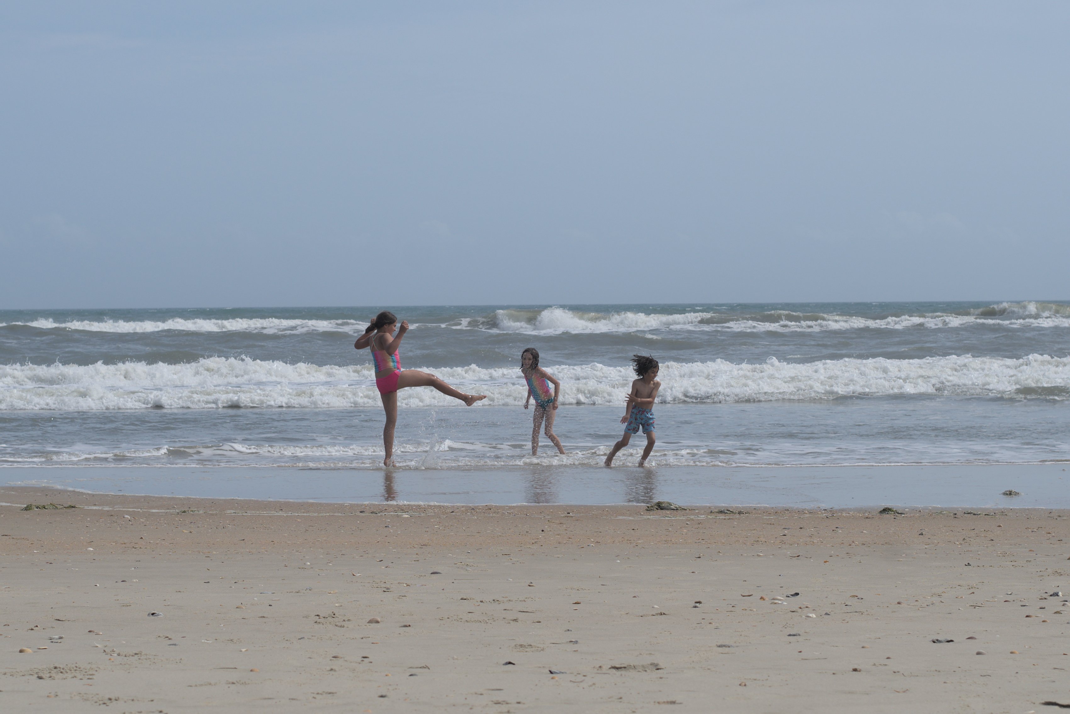
Our site here backed right up to the dunes, near a boardwalk that led over to the beach. A short stroll through the dunes and we were at the water.

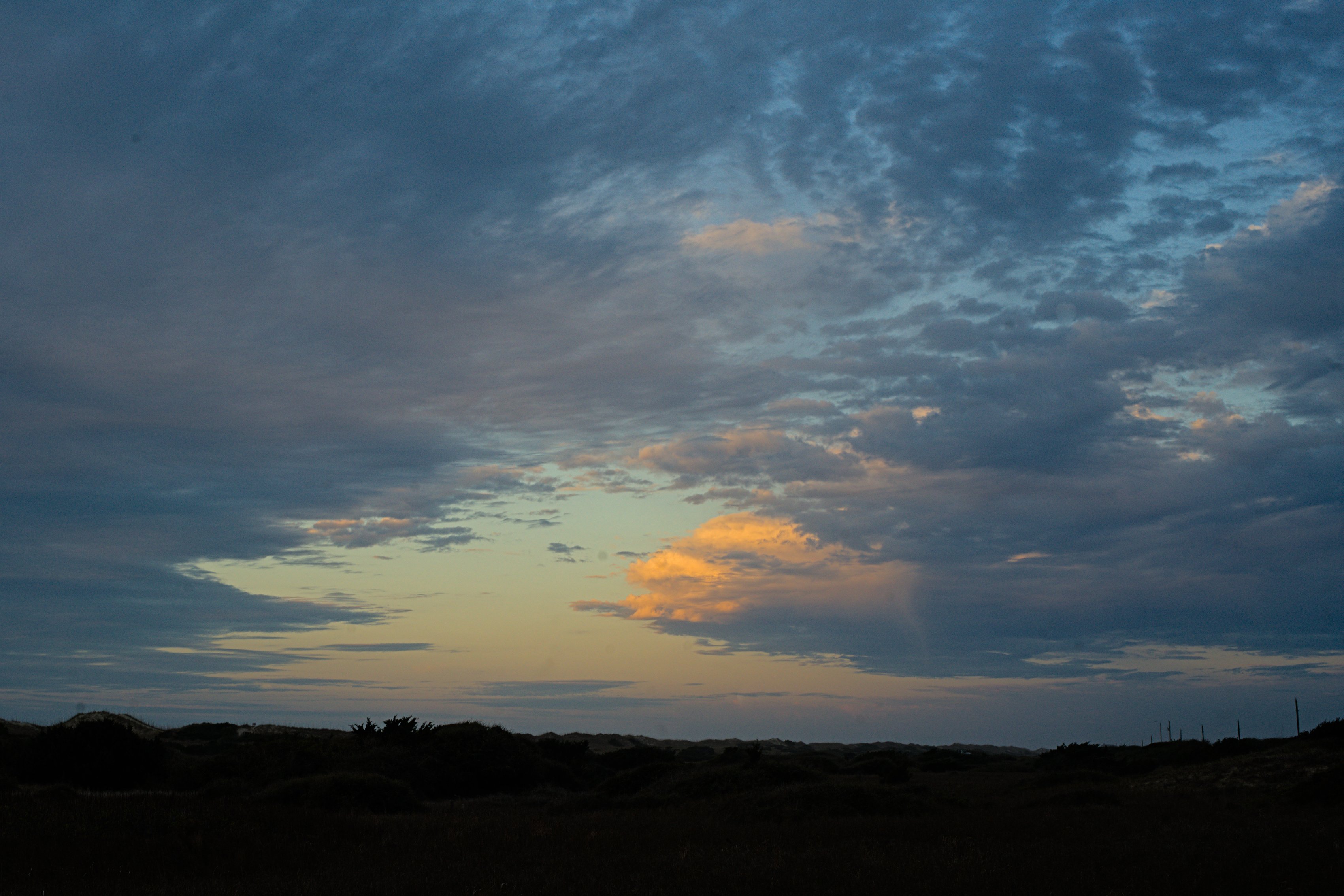
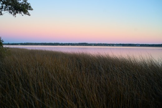
The other side of the campground sprawled up a small hill, away from the dunes, but with a view of the ocean. The kids and I rode our bikes around the loop nearly every night after dinner to watch the sunset from the top of the hill. The sweet smell of cedar and juniper, and the scrub oak undergrowth reminded me of spots we camped out west, near Canyonlands more than anywhere we’ve been in the east.
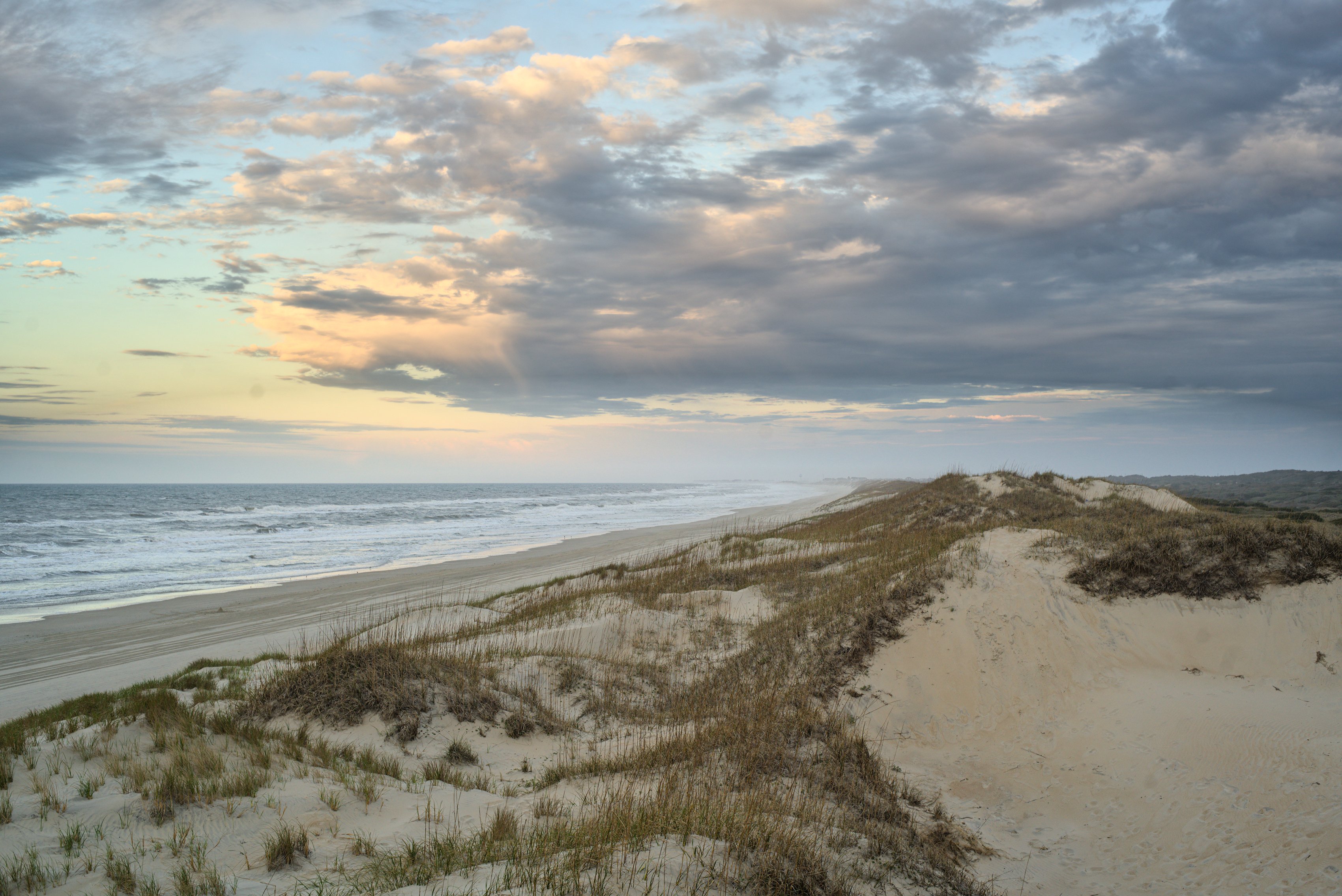
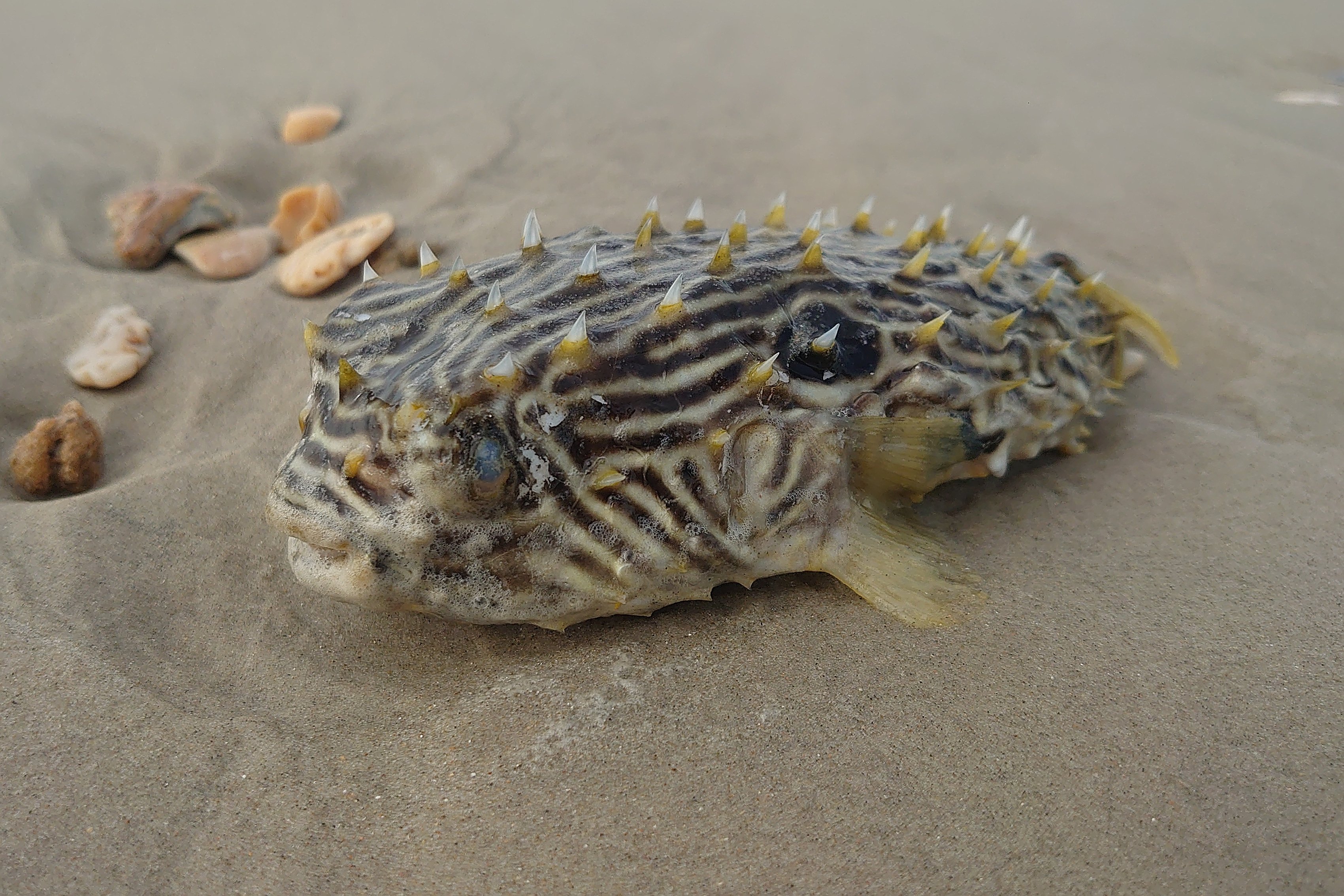
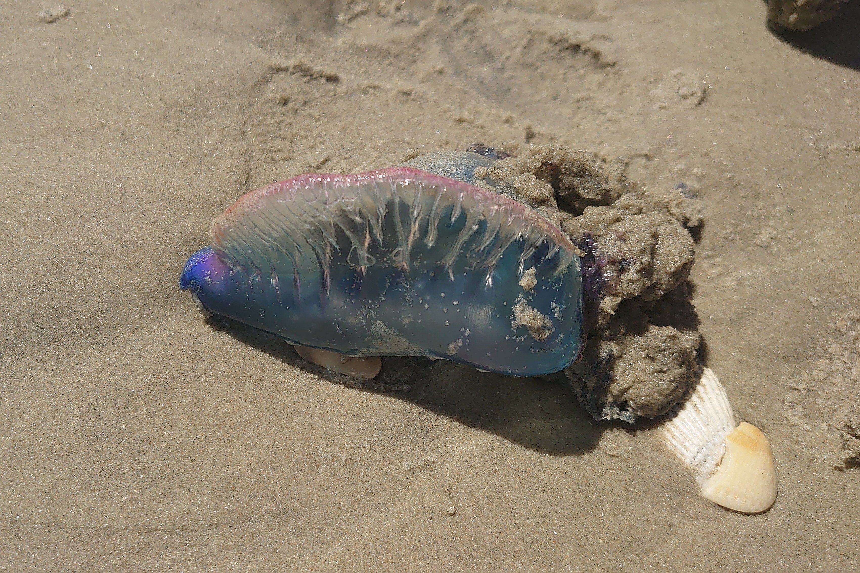
Here though we had the beach, and with the wind finally giving us some breaks, we spent as much time as we could out on the sand. Actually it wasn’t so much that the wind stopped, it was that temperatures climbed up into the 70s and the wind died down to the point that it was just a welcome breeze. We still had a few storms blow through, but the temperatures stayed warm enough that most days were were playing in the water.
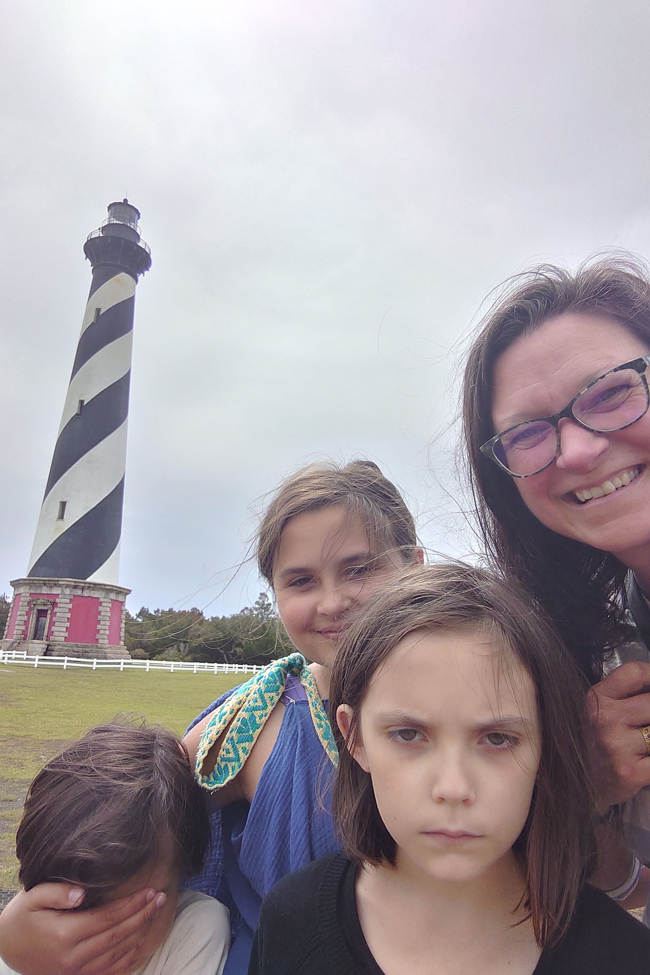
When people think of Cape Hatteras, if they ever do, they think of the iconic lighthouse. It’s the tallest in the United States and graces countless postcards in these parts. I’m not entirely sure we’d have made it, we’re not really lighthouse people I guess, but it happened to be right by the dump station, so one day we stopped off to check it out.
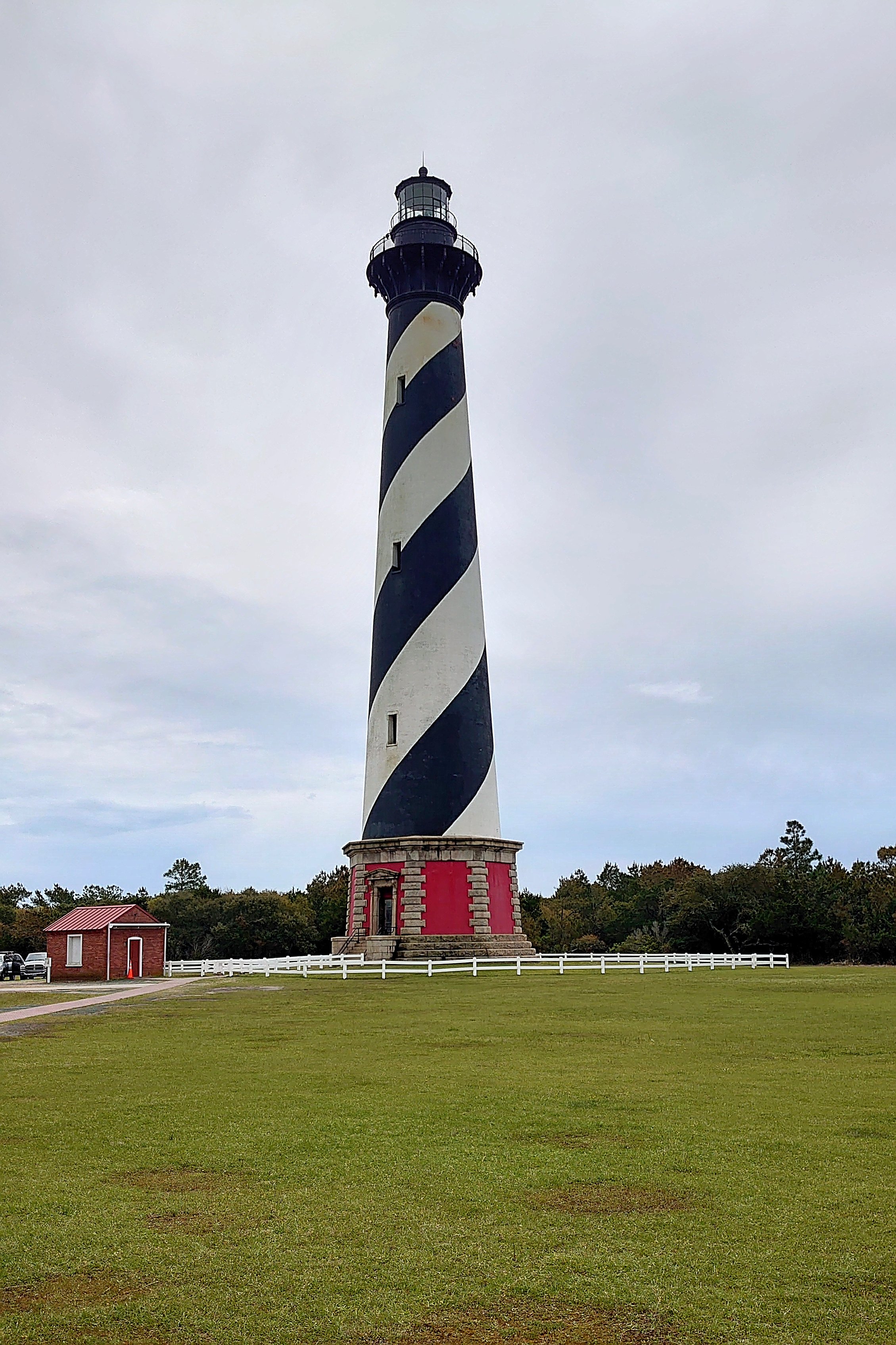
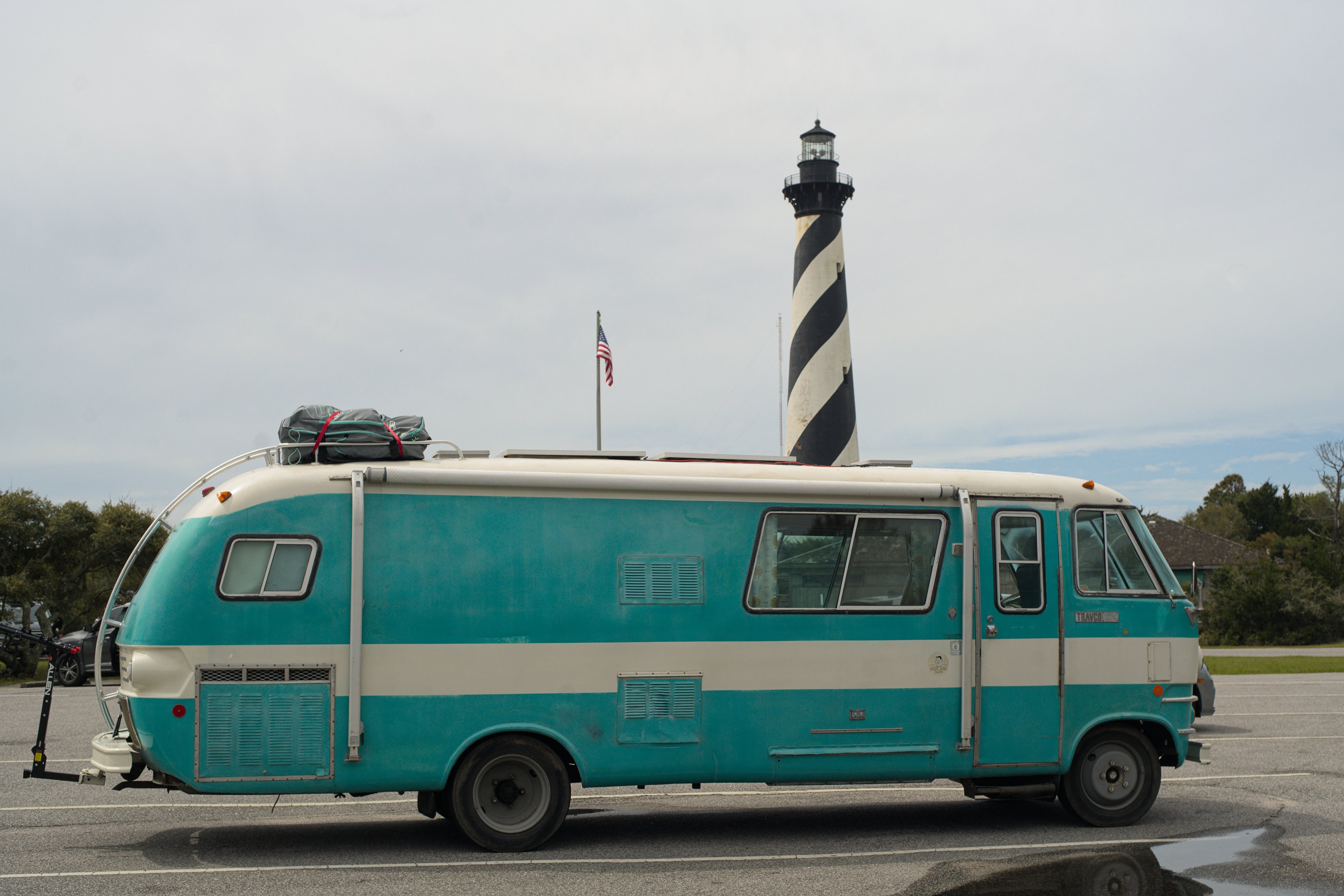
More remarkable to me than the lighthouse itself is that in 1999 they moved it. Exactly how you move a 4,830 ton brick structure is detailed on the NPS site. It took almost three weeks to move it less than half a mile from its original location down on the sand, to its current home on more stable ground.
Unfortunately I agree with the opponents of the NPS plan, it loses something when it’s not sitting out there on the actual point, in the sand. I did enjoy seeing it flashing every morning though. To my mind that’s how you should see a lighthouse, from a great distance. That’s its job after all — to keep you away from it.

2 Comments
What a great place to visit!!! Did you go crabbing???
@Arva-
Haven’t done any crabbing. We’ve done a bit of surf fishing, but haven’t caught anything yet.
Thoughts?
Please leave a reply:
All comments are moderated, so you won’t see it right away. And please remember Kurt Vonnegut's rule: “god damn it, you’ve got to be kind.” You can use Markdown or HTML to format your comments. The allowed tags are
<b>, <i>, <em>, <strong>, <a>. To create a new paragraph hit return twice.