Comanche National Grasslands
Exploring a little-known corner of Colorado
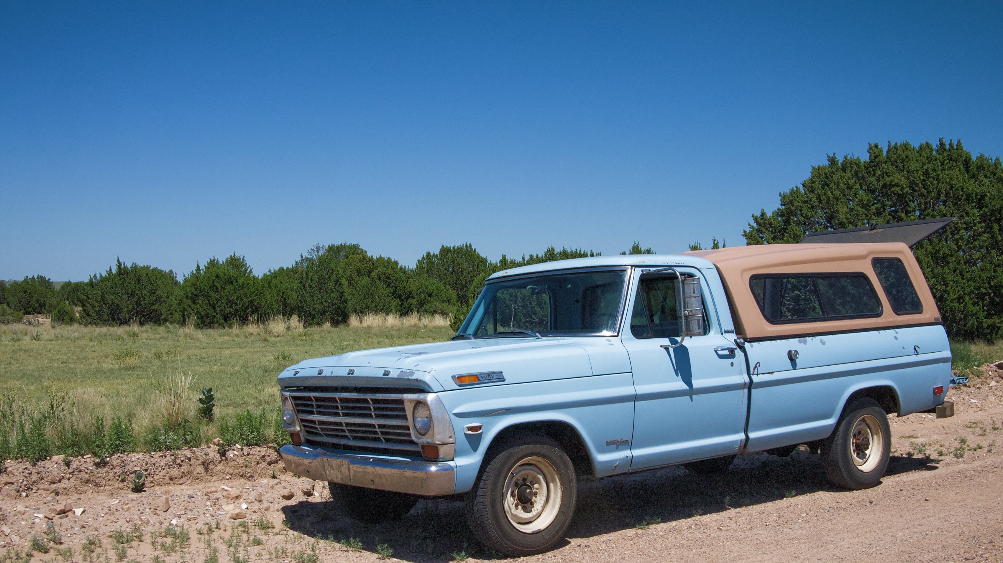
From Amarillo I headed north, taking small county roads through the northern section of the Texas panhandle, into Oklahoma and on to Colorado, where I turned off on a dirt road that claimed it would take me to the Comanche National Grasslands.
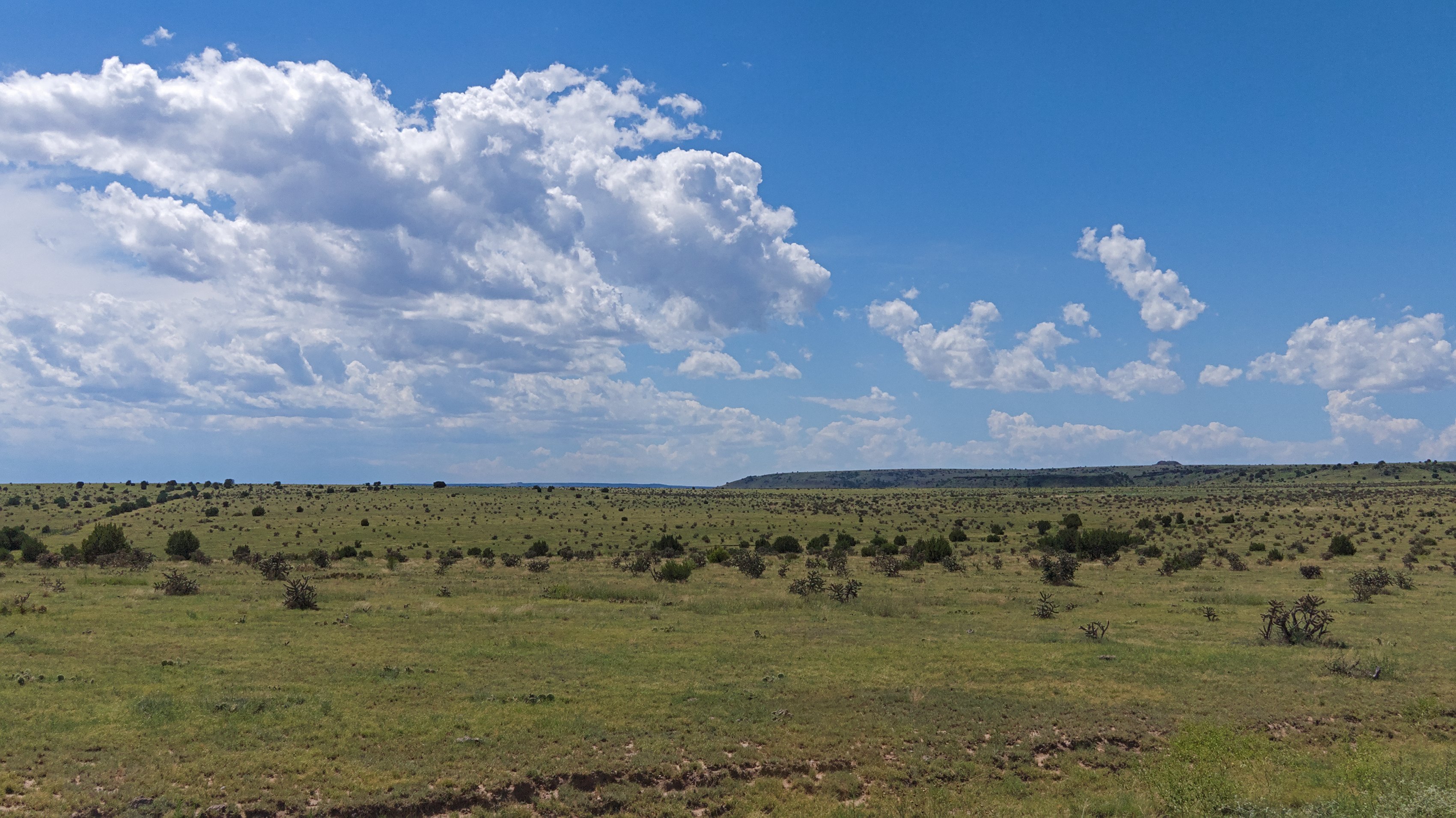
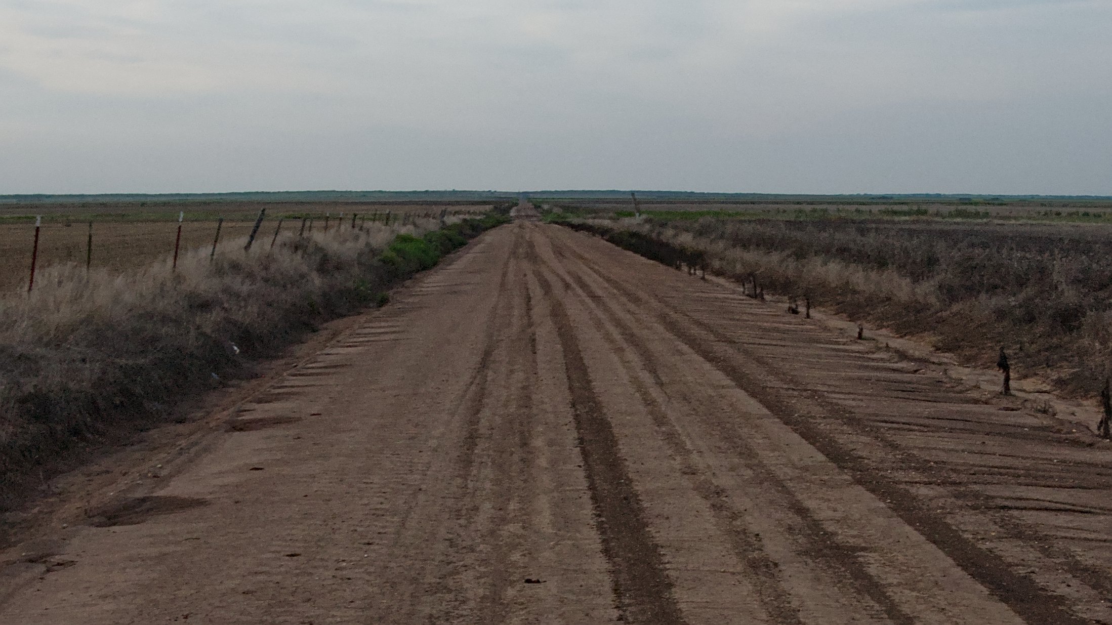
To say the Comanche National Grasslands is off the grid would be an understatement. With the exception of Highway 50 in Nevada, I’ve never driven through such isolation and vast openness anywhere in the world. And it’s easy to get lost. There are no signs, no road names even, just dirt paths crisscrossing a wide, perfectly flat expanses of grass.
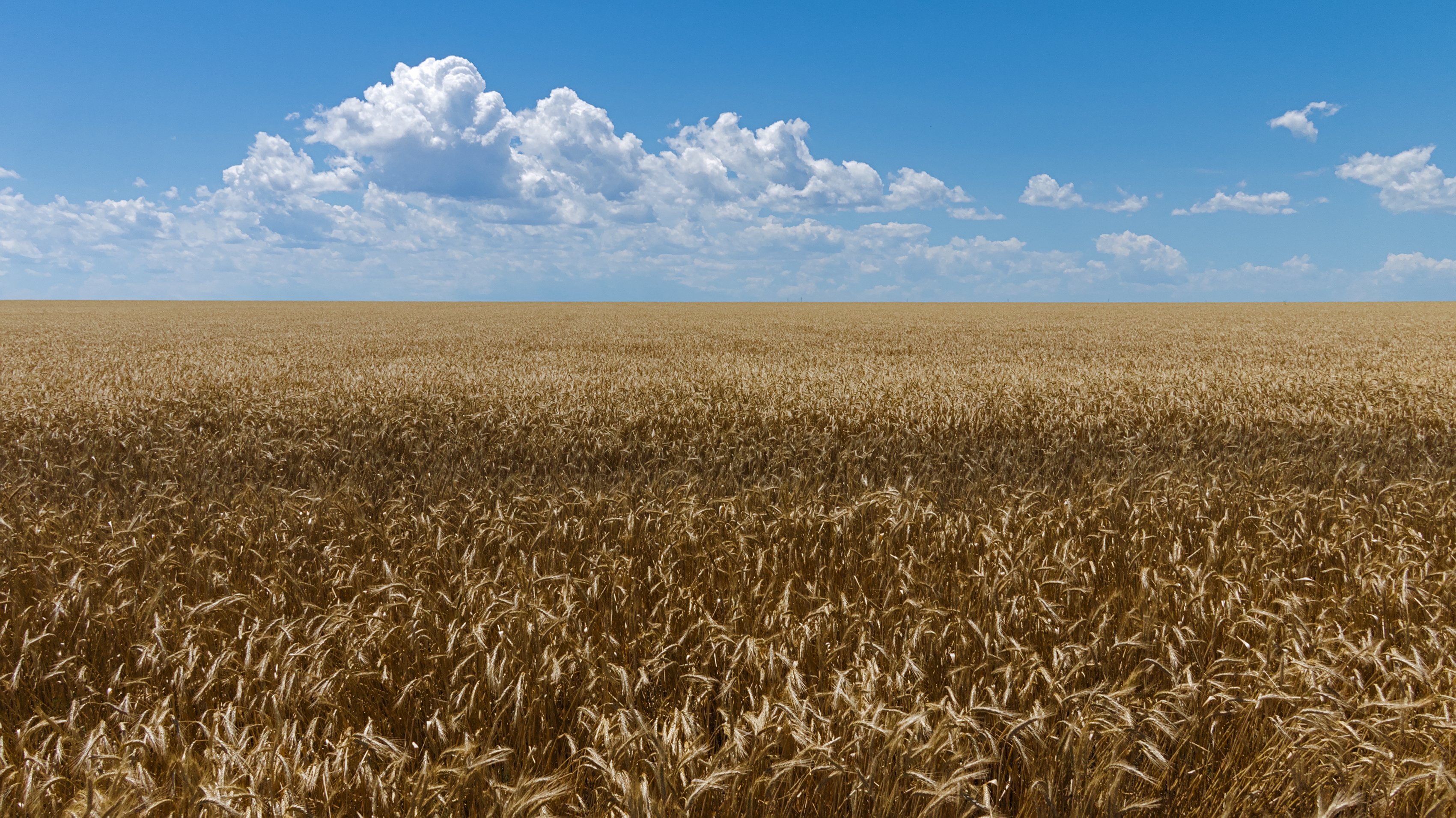
I followed what I thought was the main dirt road through some ranch land. Endless wheat fields stretching to the horizon eventually gave way to open grasslands.
I crossed cattle grate and came to a fork in the road where a small sign noted that the Grasslands preserve had begun. I had not seen another car since I turned off the main road. Nor would I for the rest of my time in the Comanche National Grasslands.
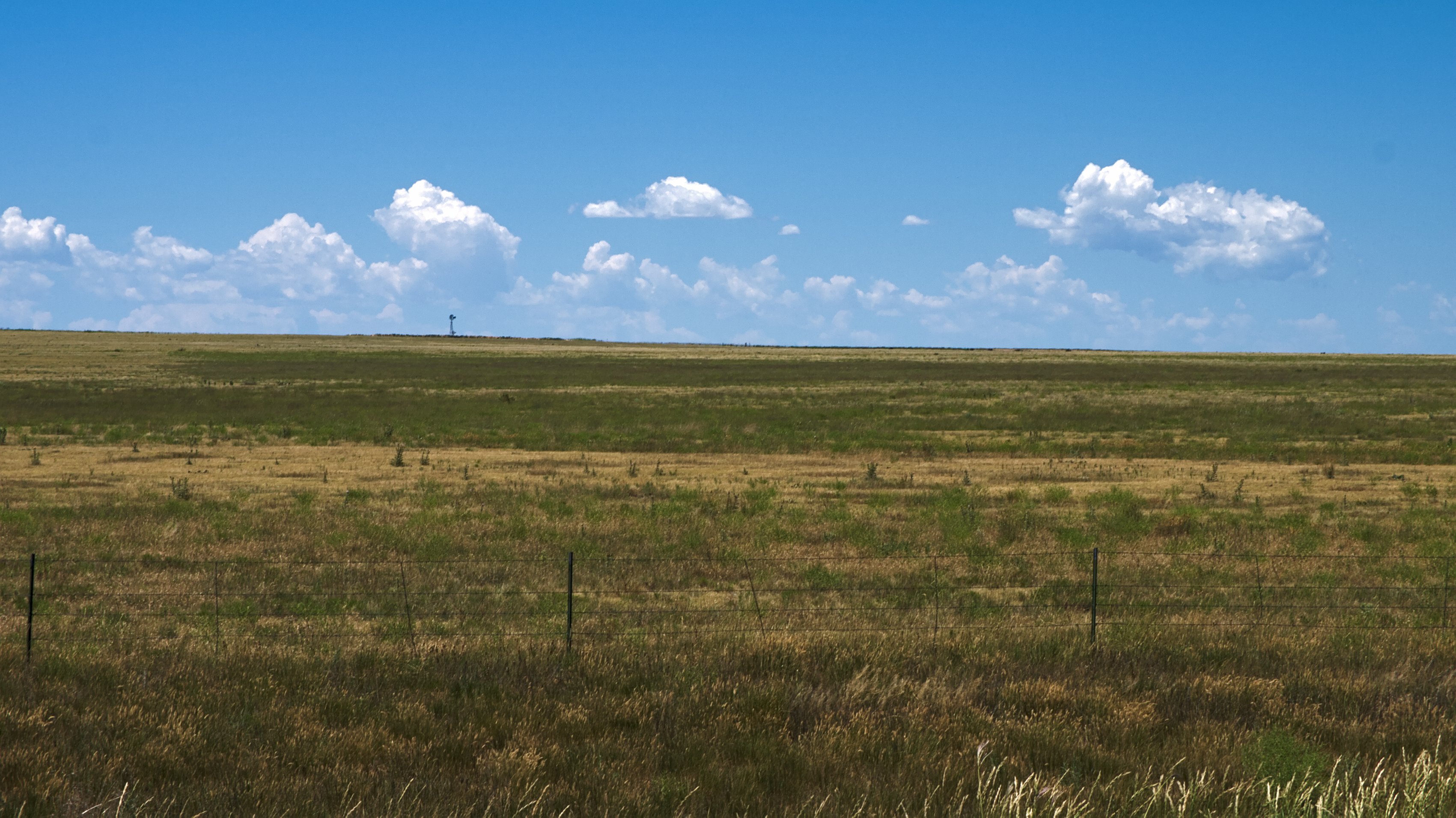
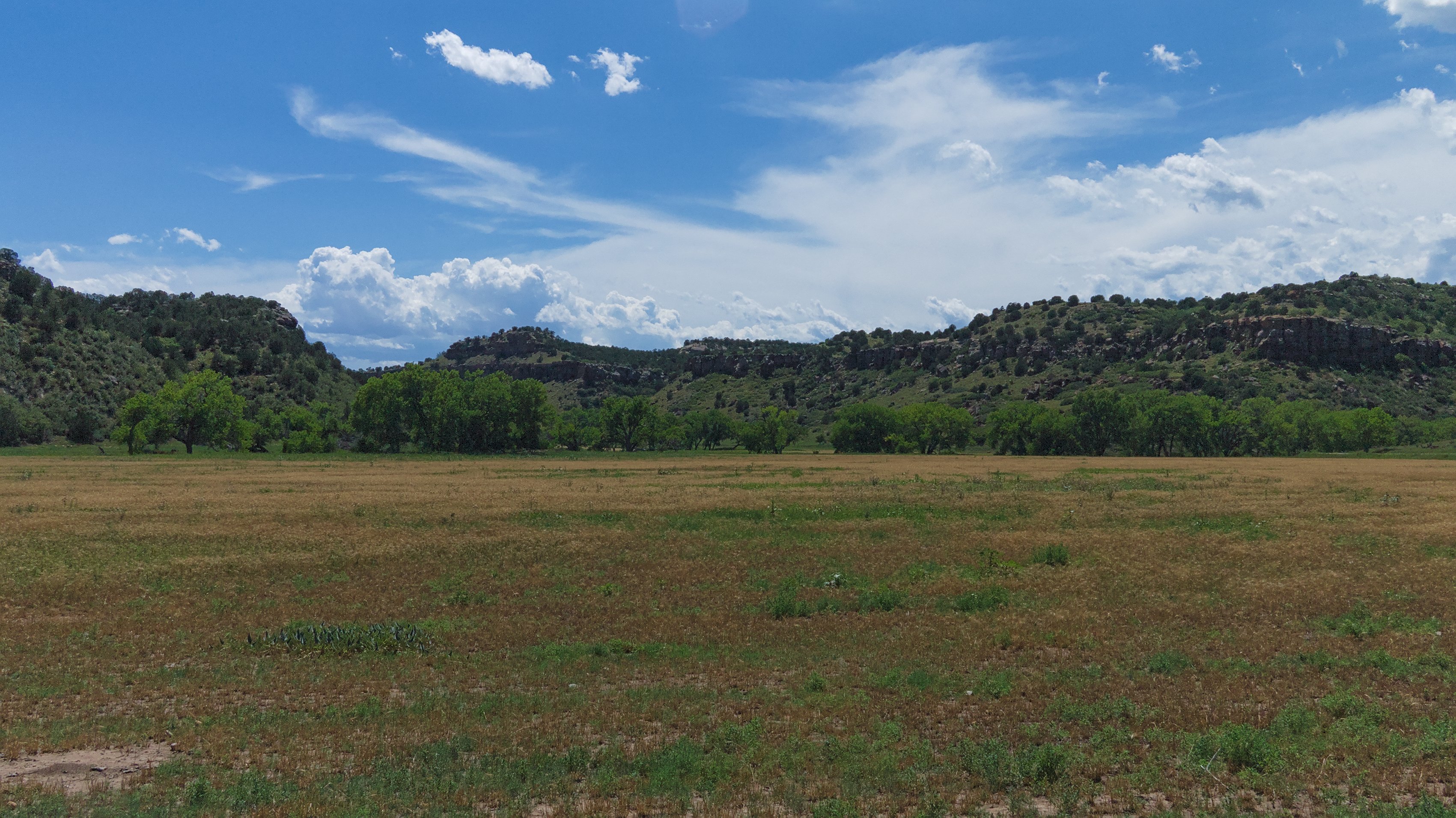
Instead there was simply immense, wide open space. Space so big it begins to close in on you, the sky seems so endlessly massive and close that it’s disconcerting. The only real limits to your field of vision are the curvature of the earth. You begin to get some sense of how small a thing you really are. If you spend too much time thinking about infinity, you can’t help but feel incredibly finite.
Few of the early settlers who wrote about crossing the plains failed to note the epic proportions of open space. While that space, and the original scale, are long gone, you can get some sense of what it must have been like in the Comanche National Grasslands. If you spend too much time out here, you can still get lost in the vastness of infinity.
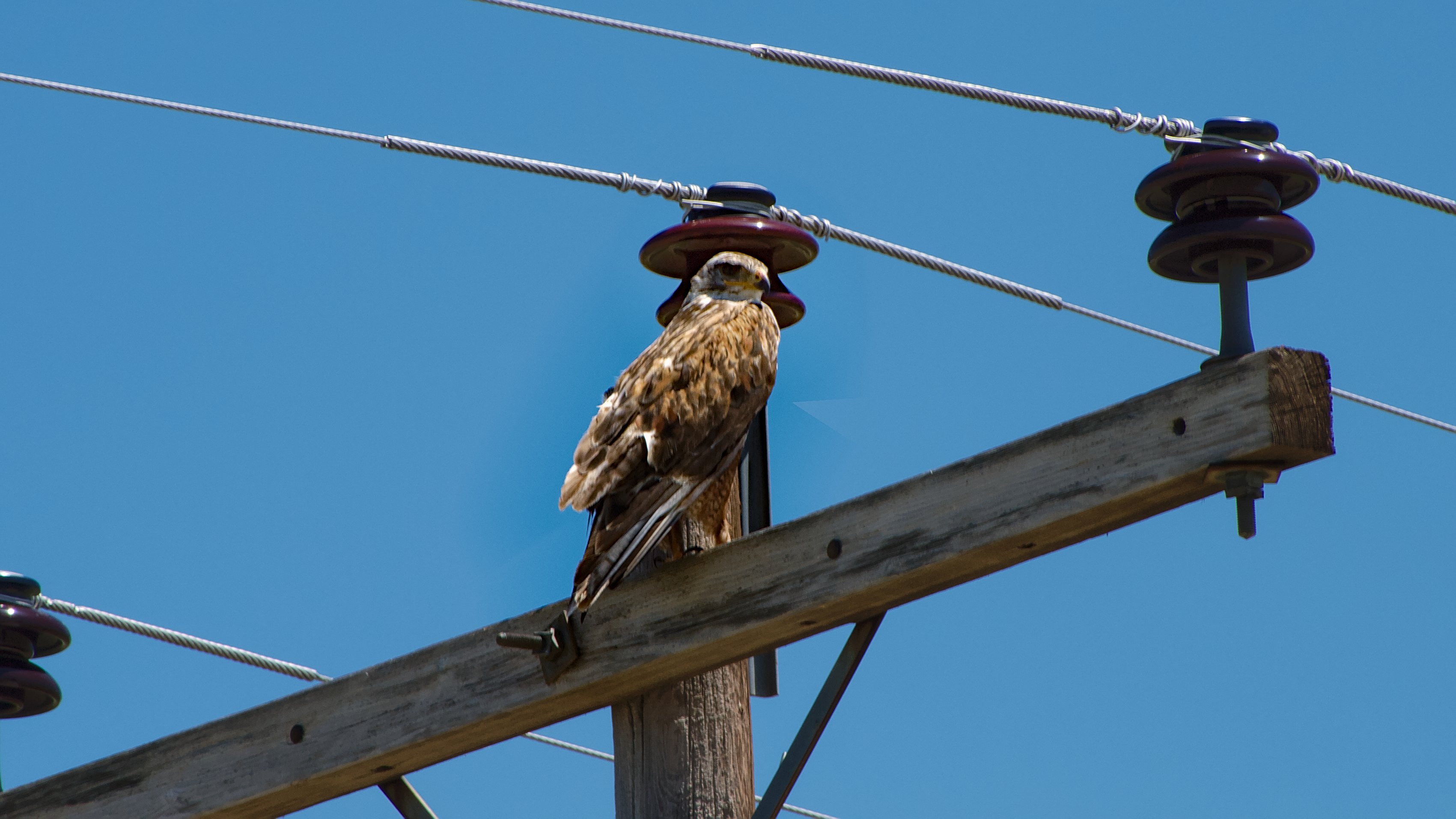
I distracted myself by watching the birds. There were birds everywhere — red-tailed hawks on a telephone pole, doves lurking in the sunflower plants that lined the road and meadowlarks that took flight at the first sound of the truck, their cream-colored bellies streaking by my window as they peeled off into the open. At one point I even saw a relatively uncommon pigmy burrowing owl.
Eventually the road began to drop into some lowlands, small rolling depressions cut by the now dry streams that pass though the area. Eventually I came to the head of Chisolm Canyon (which is actually labeled with a small sign), a much larger gash carved by a still flowing river. On a crest just before the road dropped into the canyon proper I stopped and ate lunch.
As soon as I turned off the truck engine I was engulfed in silence. It was as utter quiet as anywhere I’ve been. Only the occasional chirping click of grasshoppers and the eerie moaning of the wind sweeping through the juniper bushes broke the stillness. The only other time I’ve been somewhere as quiet was in the backcountry of the Sierra Nevada during a snowstorm.
It was quiet enough that every footstep I took seemed like thunder, the crunch of the gravel giving me away to every other living thing. I could even hear myself chewing as I ate. But the silence was peaceful too, so, not having anywhere particular to be, I climbed on the hood of the truck, leaned back against the windshield and took a nap.
Later, rested and refreshed, I descended out of the limitless plain into Chisolm Canyon where a river has carved down some four or five hundred feet of red rock that is slowly crumbling into mesas and bluffs. Come back in a few million years and there may well be a Grand Canyon here.
I pulled off near the river and went down to have a swim and sit in the shade of the Cottonwood trees. The river proved too shallow for swimming, though I dipped my shirt in it to cool off. I sat in the shade for bit, letting the truck rest and watching the Cottonwood trees’ seeds drift by, little tufts of white seed casing — the Cottonwood’s namesake — floating in the air.
I continued down the canyon until it opened up into another flatland and the road began to loop back around and head east again. Eventually I came to the same spot I had started at, but since I was half lost when I got there it wasn’t much help. I hadn’t intended to spend much time in the grasslands, but sometimes a place just grabs you and you have to stay a while.
Unfortunately I still had a good bit of ground to cover before I got to Great Sand Dunes National Park, where I was planning to stay for the night. The dirt roads around me were far too small to be on my atlas. With no cell signal I couldn’t consult Google, and there were no signs to rely on.
In the end I decided that, since Comanche National Grasslands is more or less a square block of land on the map, if I went in any one direction eventually I’d hit some tarmac. I picked north since that would most likely lead to highway 160, which eventually takes you to Great Sand Dunes.
It proved a sound strategy. After half and hour or so I was back to a paved road, though there were still no signs indicating which way to go. Great Sand Dunes National Park was west, so I just pointed to truck toward the sun and started driving, figuring eventually I’d get somewhere.
Thoughts?
Please leave a reply:
All comments are moderated, so you won’t see it right away. And please remember Kurt Vonnegut's rule: “god damn it, you’ve got to be kind.” You can use Markdown or HTML to format your comments. The allowed tags are
<b>, <i>, <em>, <strong>, <a>. To create a new paragraph hit return twice.