Dinosaur National Monument, Part Two: Down the River
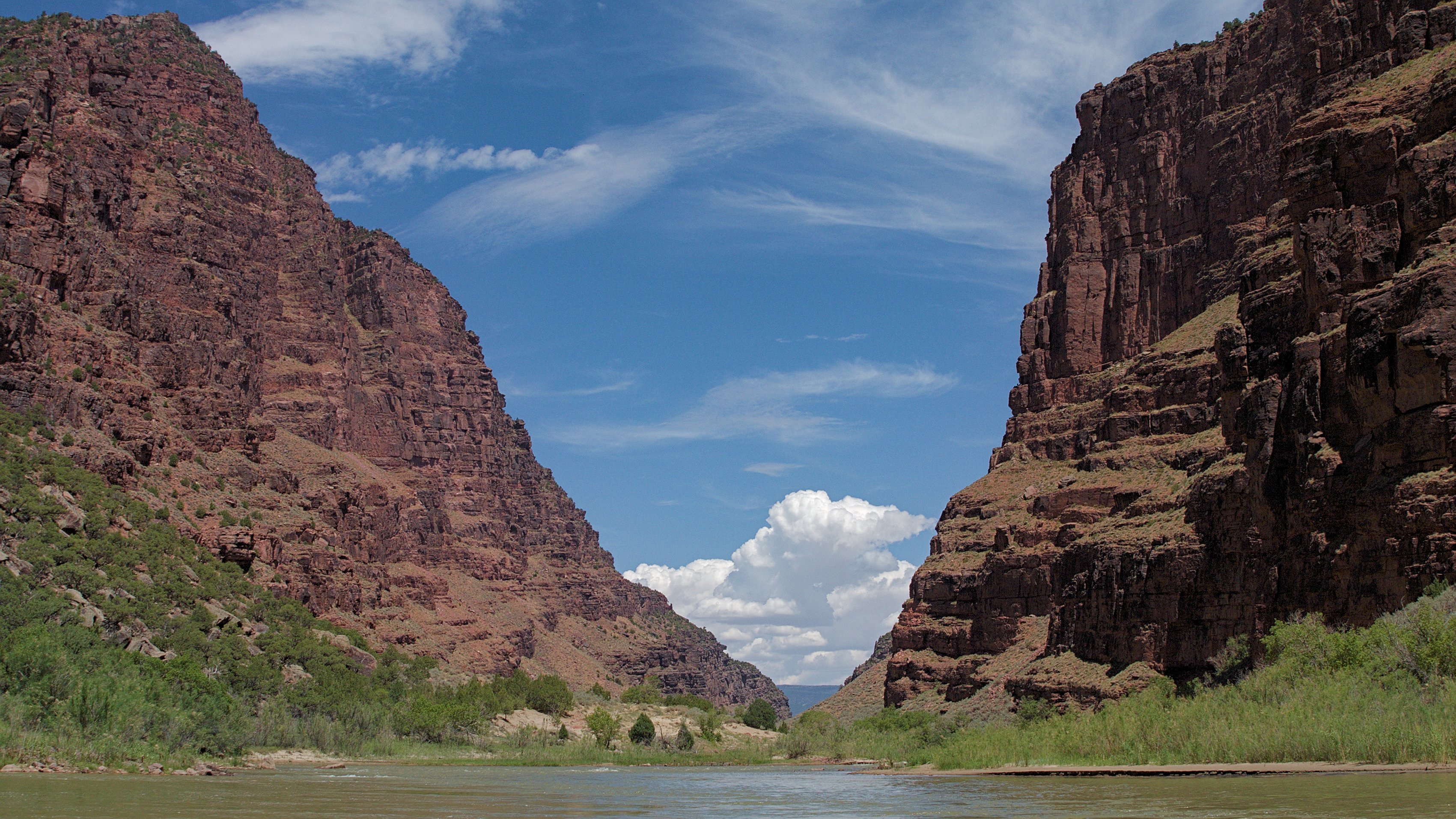
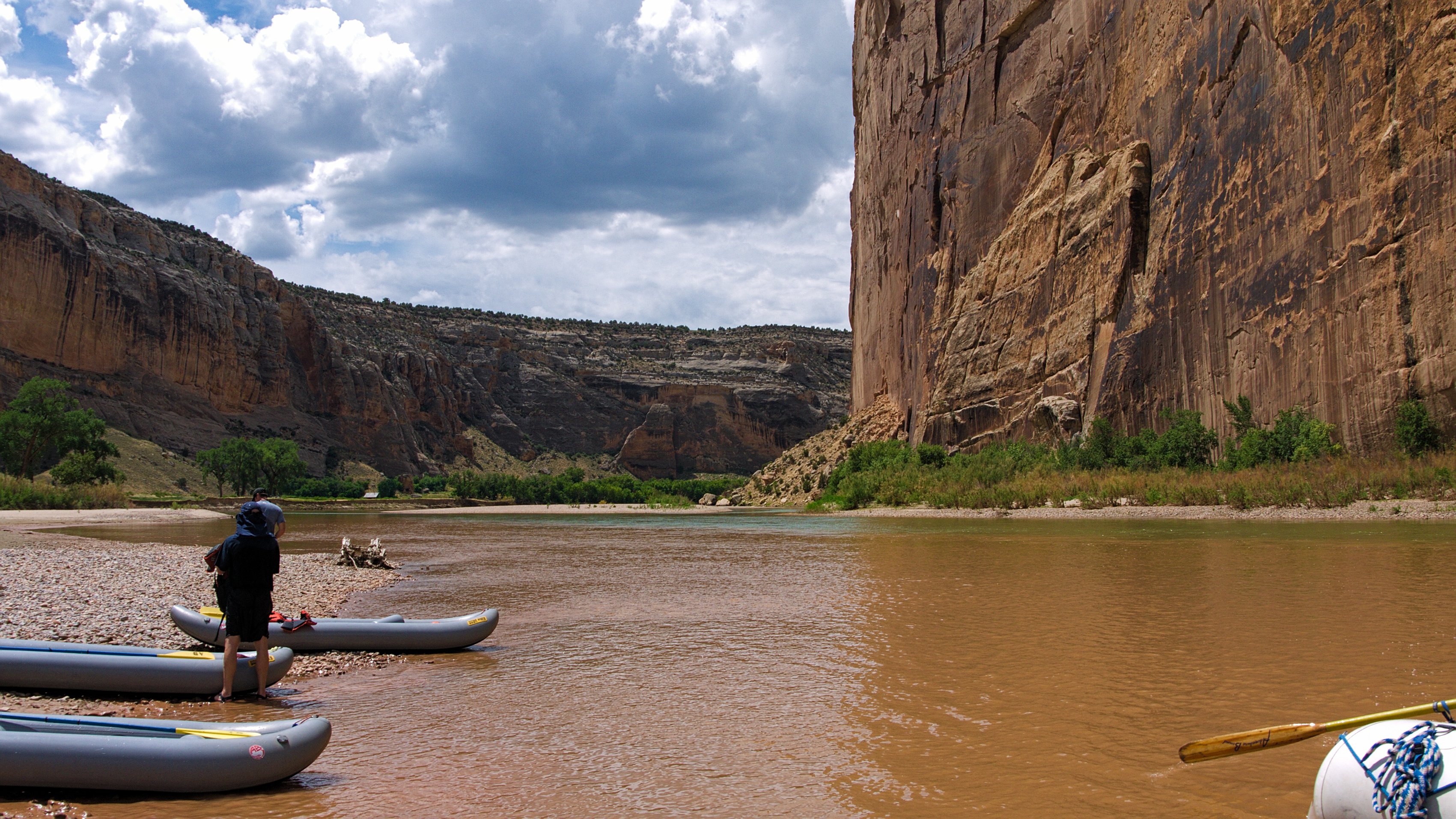
The Gates of Lodore rise up on either side of the river, the massive red sandstone cliffs reminiscent of something out of Tolkien, but less fantastical, more majestic. The large boats are already loaded and waiting, we are inflating the smaller boats while Ranger Dave talks about the skunk problems down river.
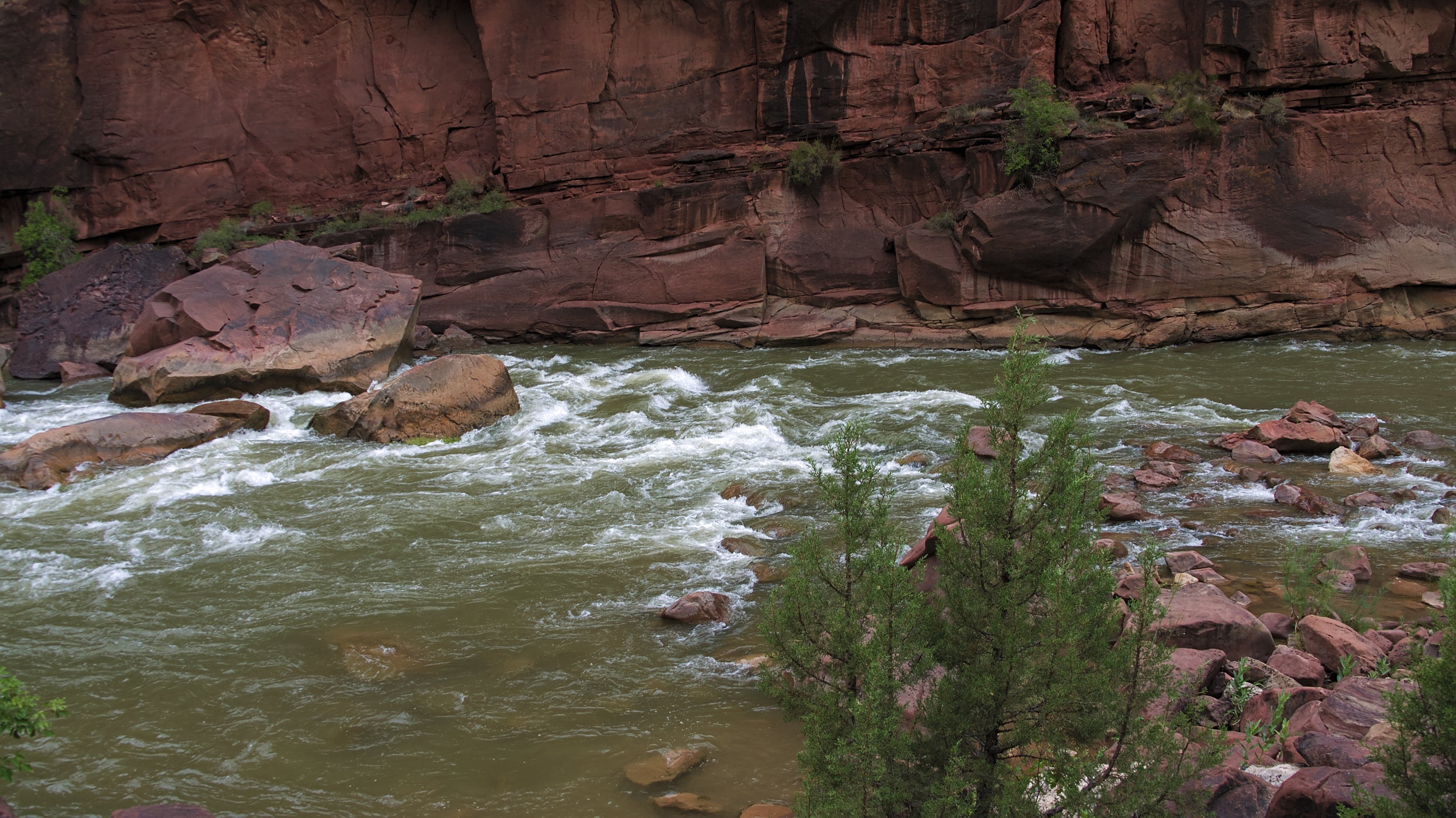
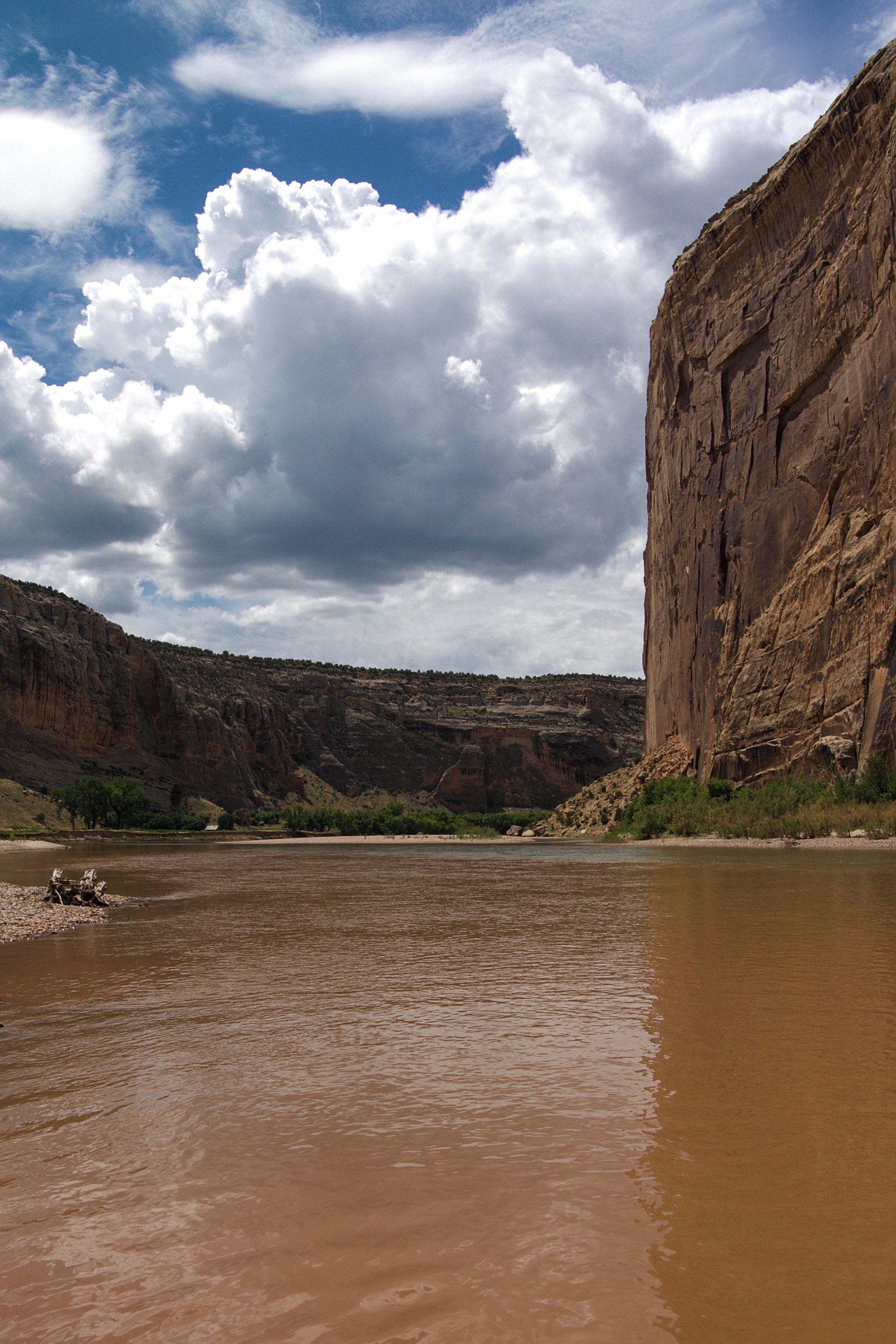
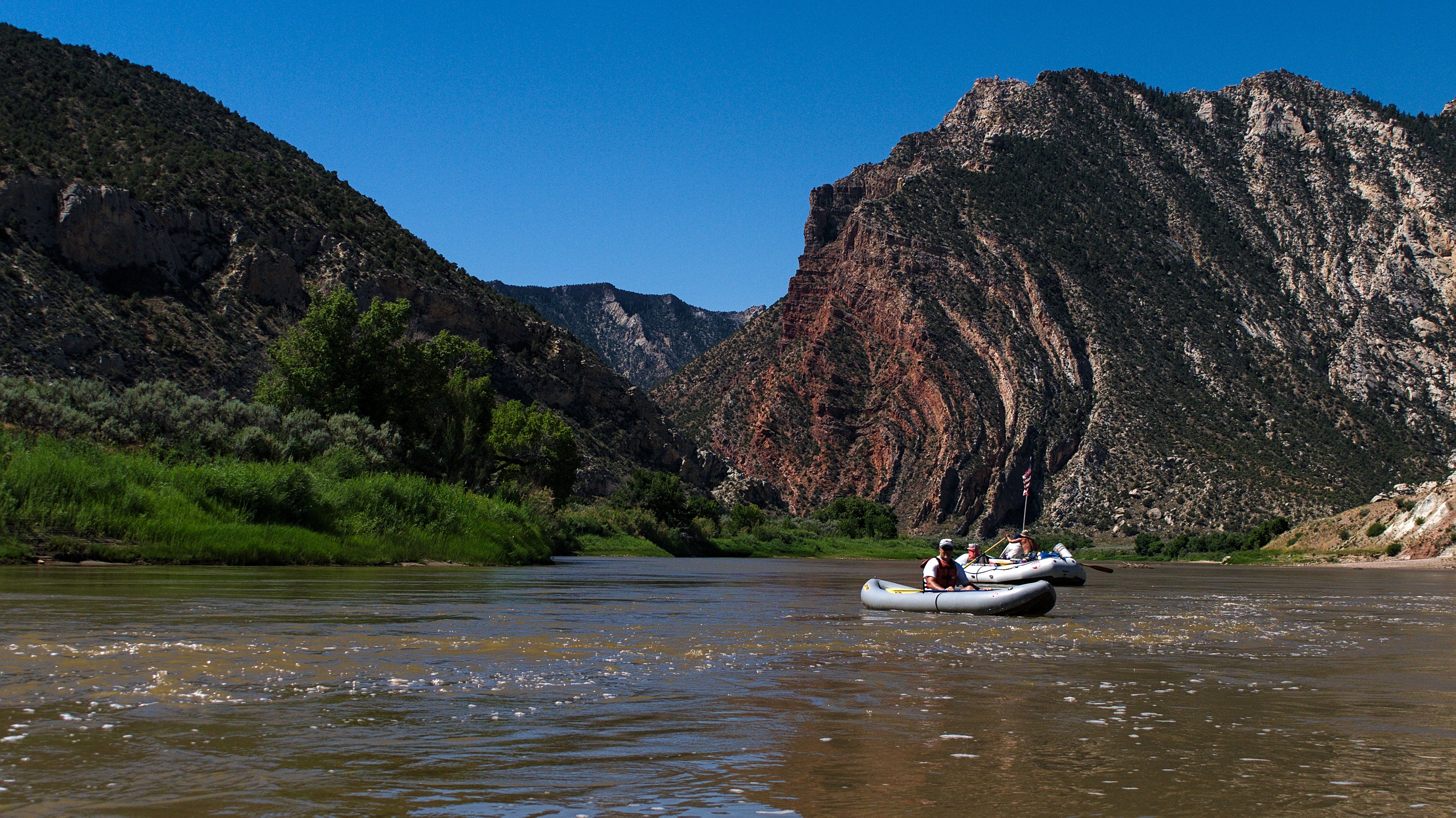
We’re off by noon, a little over an hour after we arrived at the put in. This stretch of the Green River is calm, but moving fast enough that I don’t need to paddle much to keep pace with the larger boats. After a half mile of open land, the river passes through the Gates and plunges into Lodore Canyon proper, carving its way through some 3000 vertical feet of dramatic red sandstone.
This is the only real way to see Dinosaur National Monument. Part of what makes Dinosaur National Monument compelling is its remoteness. The nearest major city is over 100 miles away and once you get to the park there aren’t many roads, nor even trails. To really see the park you’ve got to get down in the canyon and to see the canyons up close you must journey down the river.
There are two major rivers running through Dinosaur National Monument, the Yampa, which carves through Yampa Canyon, and the Green, which cuts through Lodore. Numerous rafting companies run trips of varying lengths through both canyons, though if you want to do the Yampa you’ll need to arrive early in the season1, by mid-July the dam-fed Green River is your only option in Dinosaur National Park.
The first day is largely devoid of rapids, a few rough spots where the river tumbles over a garden of rocks, but it does nothing more than splash a little water into the boat. Near the end we run Disaster Falls, which is not nearly as bad as its name might imply. Of course if you’re John Wesley Powell and you’re running the Green River for the very first time, pre-dam, in 1869, in wooden boats, you might have a slightly different perspective.
In fact, Powell portaged most of the rapids he encountered. There is simply no way through them in wooden boats (though honestly, hauling huge wooden boats through the canyon almost sounds worse). However, one of his boats did not see Disaster Falls approaching and went through it with, well, disastrous results. Like most of the names Powell bestowed on the river, Disaster Falls stuck.
According to legend, after everyone from the smashed boat was safely ashore, the boatmen went back into the river to try to retrieve some of the lost equipment. Powell, thinking the were going to get his lost barometers encouraged them on, but the boatmen were after the barrel of whiskey, which they managed to find. Presumably the barometers are still there somewhere, buried under nearly 150 years of mud and silt.
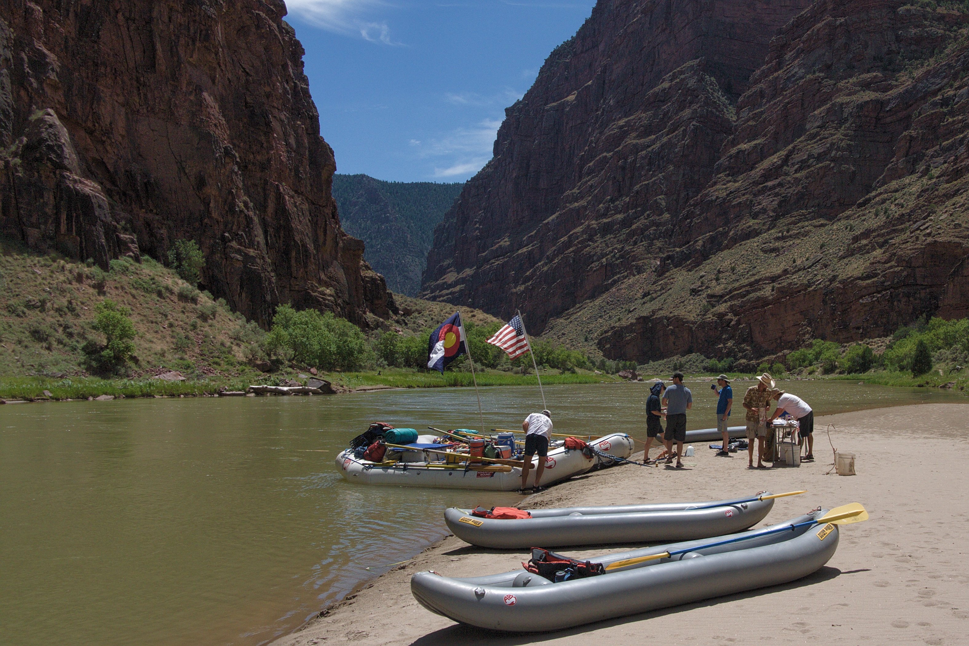
We reach our camp, Pot 1, just downstream from Disaster, by mid-afternoon and, after a quick lesson in using a groover2, we set up some horseshoes and whiled away the evening drinking beer and throwing horseshoes. Pot 1 and its downstream sibling, Pot 2, were also named by Powell who lost most of his pots and pans in the area. Powell was fearless (especially considering he only had one arm) and an incredible explorer, but he wasn’t always creative with his names. So it goes.
The second day we start off by having to prove we could right the inflatable kayaks under the watchful eyes of our guides. We all managed to do it, though it was in nice calm water. I have my doubts about how well I would have done in a real rapid — like the ominous-sounding Hell’s Half Mile which was waiting for us just a few miles downstream.
Before we got to Hell’s Half Mile, we had to make it through the much more benign-sounding Triplet. As the name implies there are three drops, but the real trick to Triplet is making a hard left turn away from the right bank at the end. The cut-away rocky alcove you’re avoiding is like a yawning mouth waiting to suck you in and, most likely, pin you there.
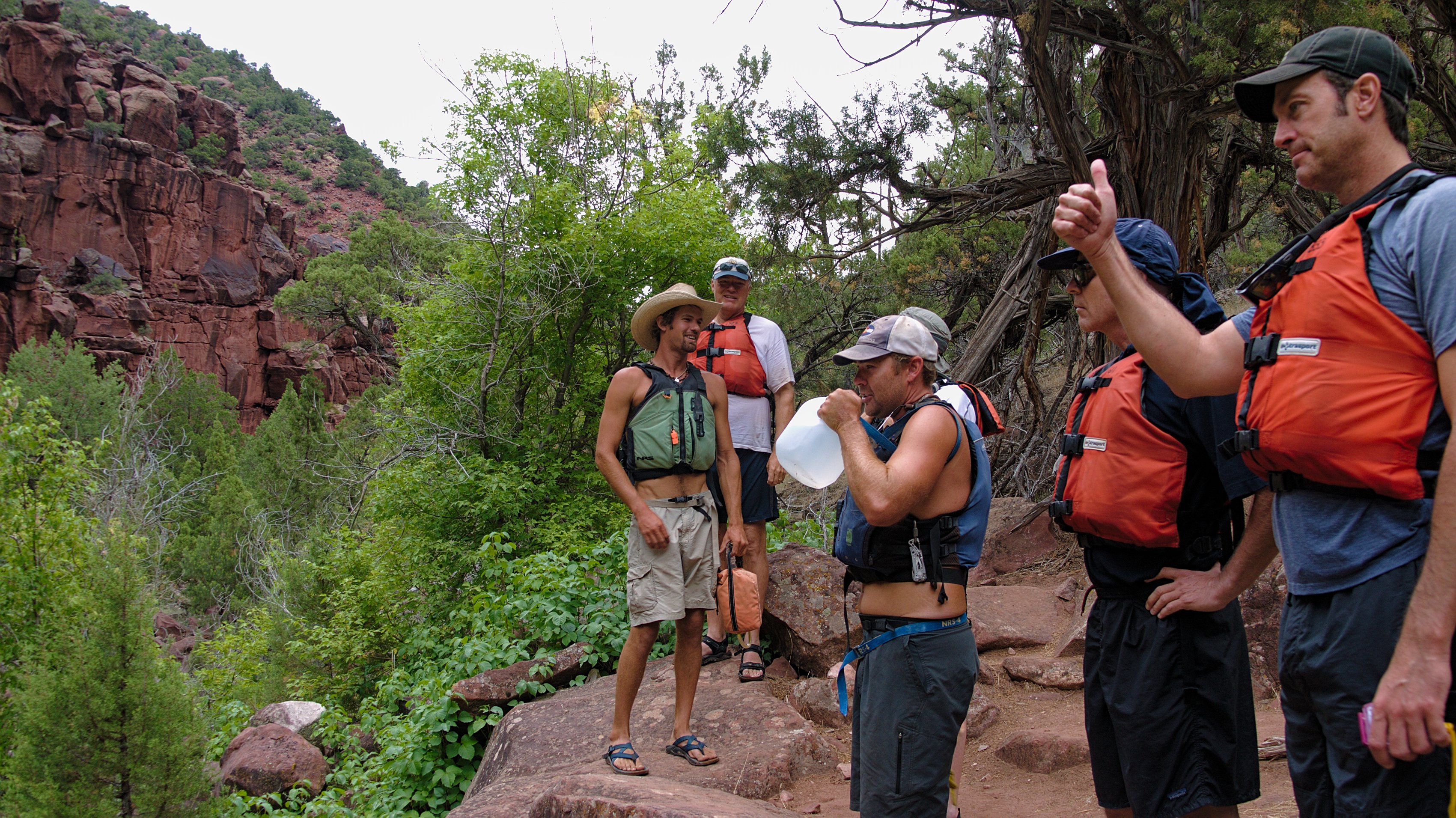
All of us made it through Triplet without any issues. About a mile further downstream we stopped to scout Hell’s Half Mile. It doesn’t look like much from the shore, but few rapids do. Depending on the water level Hell’s is somewhere between a class III and class IV rapid. Everything started off just fine, I was paddling with Jim, the other guide’s father who was a very good kayaker and we made it through without issue.
Greg, one of the three paying customers on our little trip did not fare as well. He went directly over a boulder known as Lucifer (possibly Powell was reading Dante when he ran the river, or he just loved fire and brimstone names). The drop wasn’t really the problem though. It was the landing and the whirlpool in front of Lucifer that did Greg in. I missed the actual flip, by the time I turned around I just saw a helmet and a pair of sandals bobbing through the lower portion of Hell’s.
I don’t have a waterproof camera, so I don’t have any photos of Hell’s Half Mile from the water, but I did find this video on YouTube. The water seems a bit higher than when we were there, but otherwise it’s about the same:
After the whitewater fun we did a few miles of flat water and came back round down into Echo Park, where I had been a few days before. The view of Steamboat rock from the river is one of the more impressive mastiffs of sandstone I’ve seen. If you want something bigger you’ll likely have to head all the way over to Zion.
We ate lunch on a sandbar at the confluence of the Green and Yampa Rivers and discovered why it’s called Echo Park — if you yell into Steamboat Rock at just the right spot your echo will reverberate back up both Lodore and Yampa Canyons creating a weird strobe echo effect that’s unlike anything you’ve heard before. Natural reverb on steroids — if Radiohead had known they’d have recorded an album here.
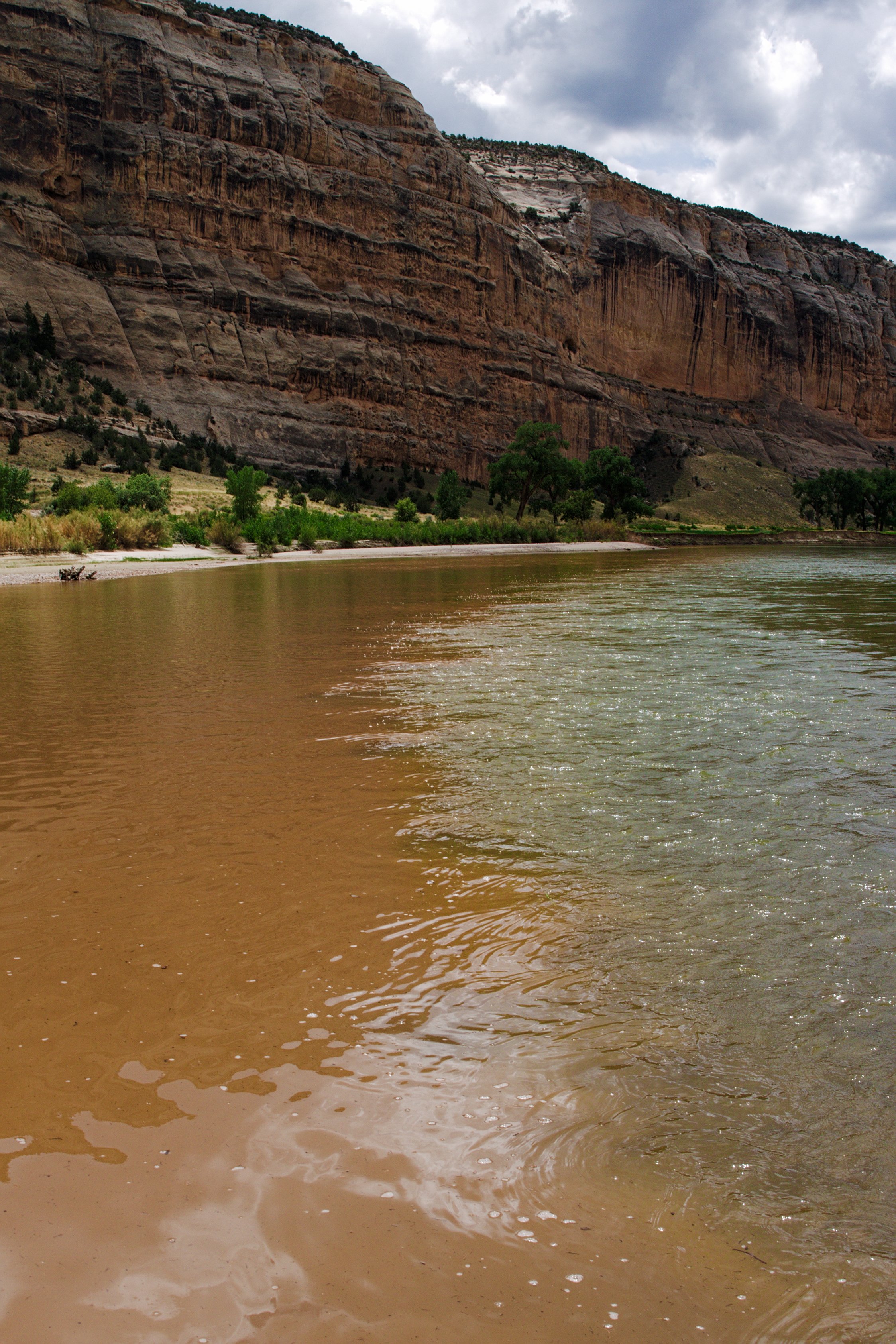
While our guides were setting up lunch I waded across the Yampa and out into the confluence, which forms an almost perfect line in the water — the muddy brown Yampa takes quite a while to fully merge with the much clearer Green River. The strangest thing is temperature difference between the two. Because the water in the Green is coming out of the bottom of a dam, it’s much colder than the Yampa, like 10-20 degrees colder. Standing right in the middle of the two is bit like having one half of your body in the pool and the other half in a jacuzzi.
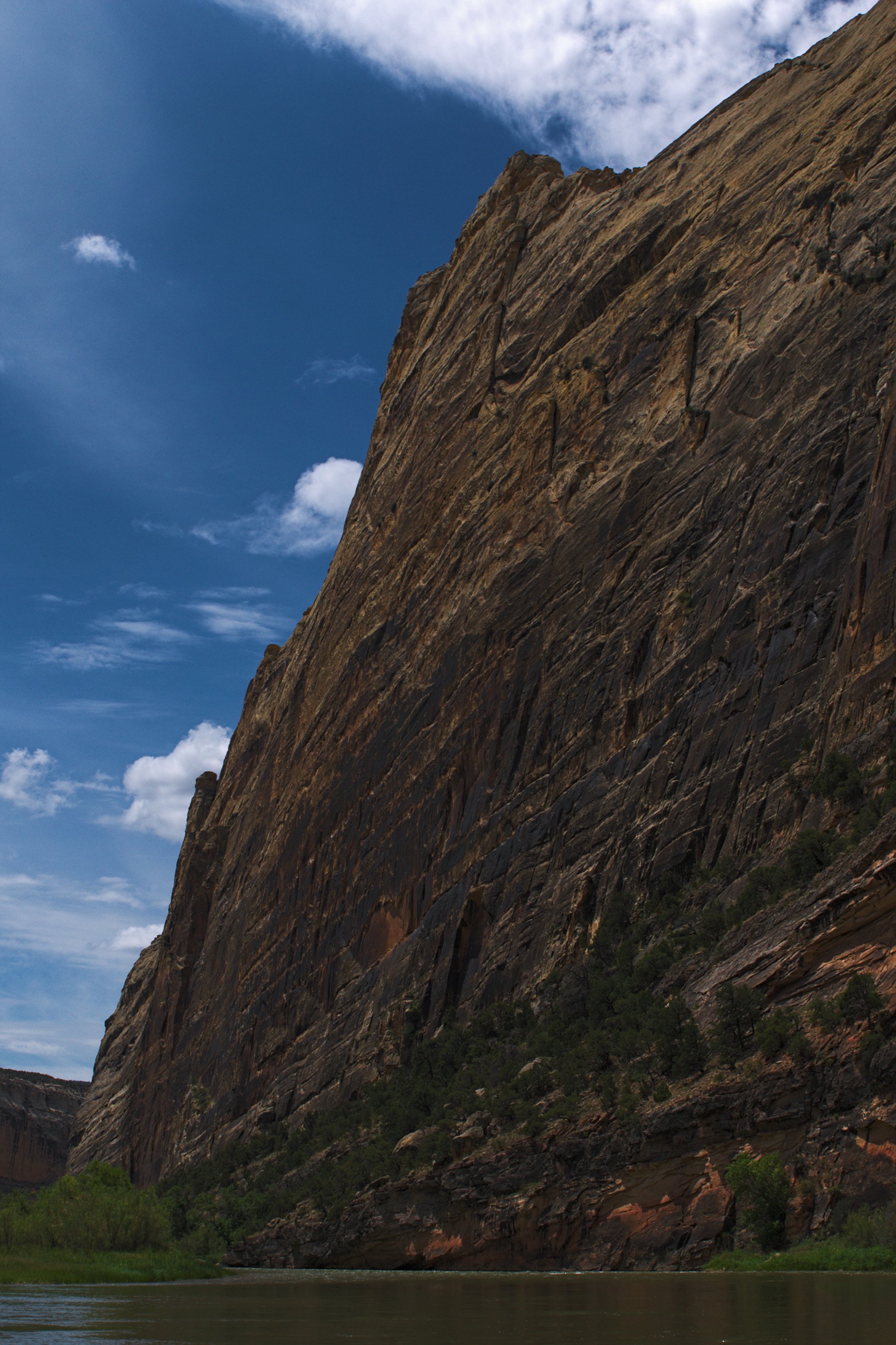
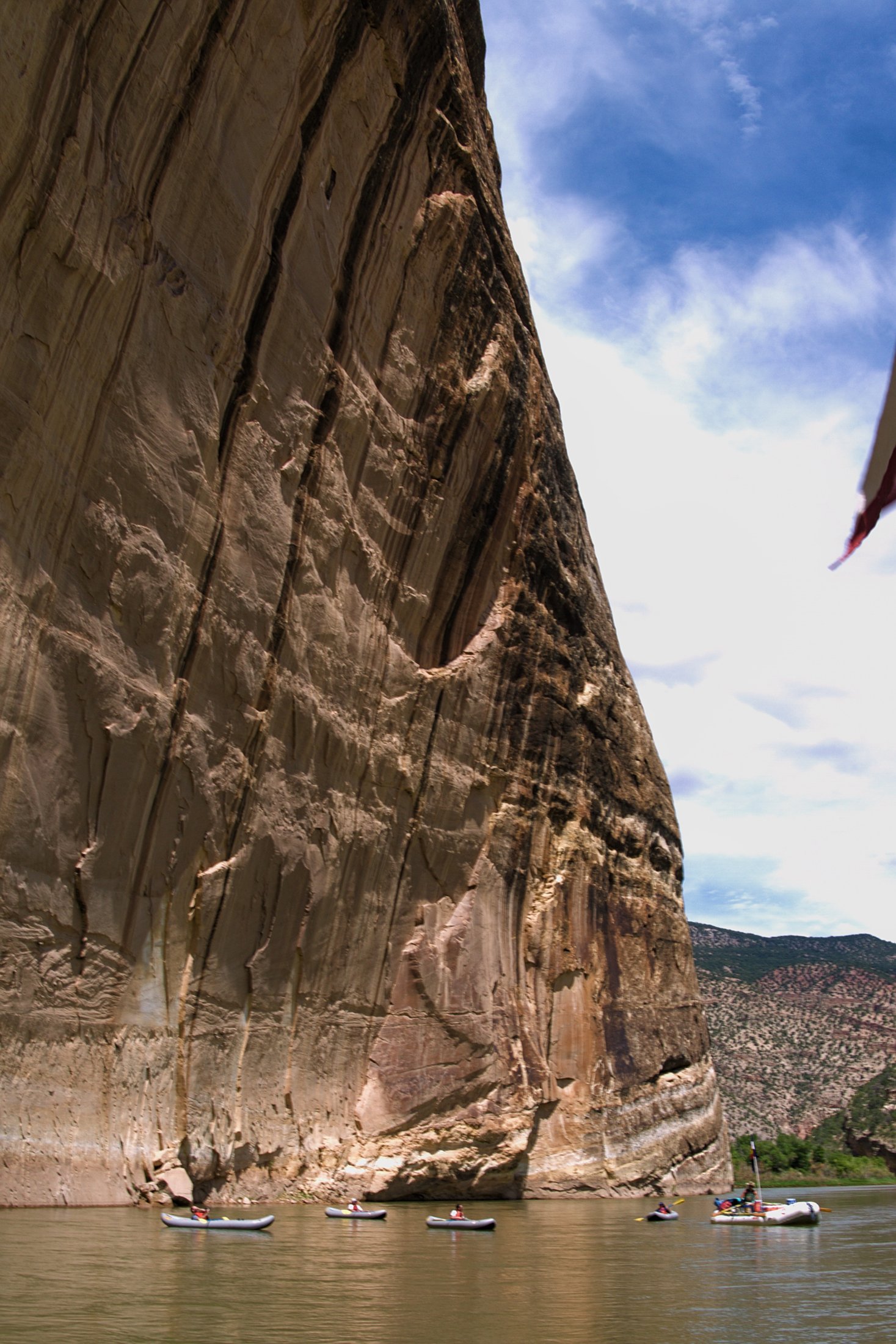
The river after the confluence was mainly flat. I rode on the lead raft for a while, just staring up at the canyon walls, watching the red rock shift to lighter sandstone as we went on.

We made camp by four again and the paying customers set off on a short hike to what’s known as Butt Plug Falls, because you can plug it up by sitting down in the narrow channel just above the falls (presumably Powell did not give it that name).
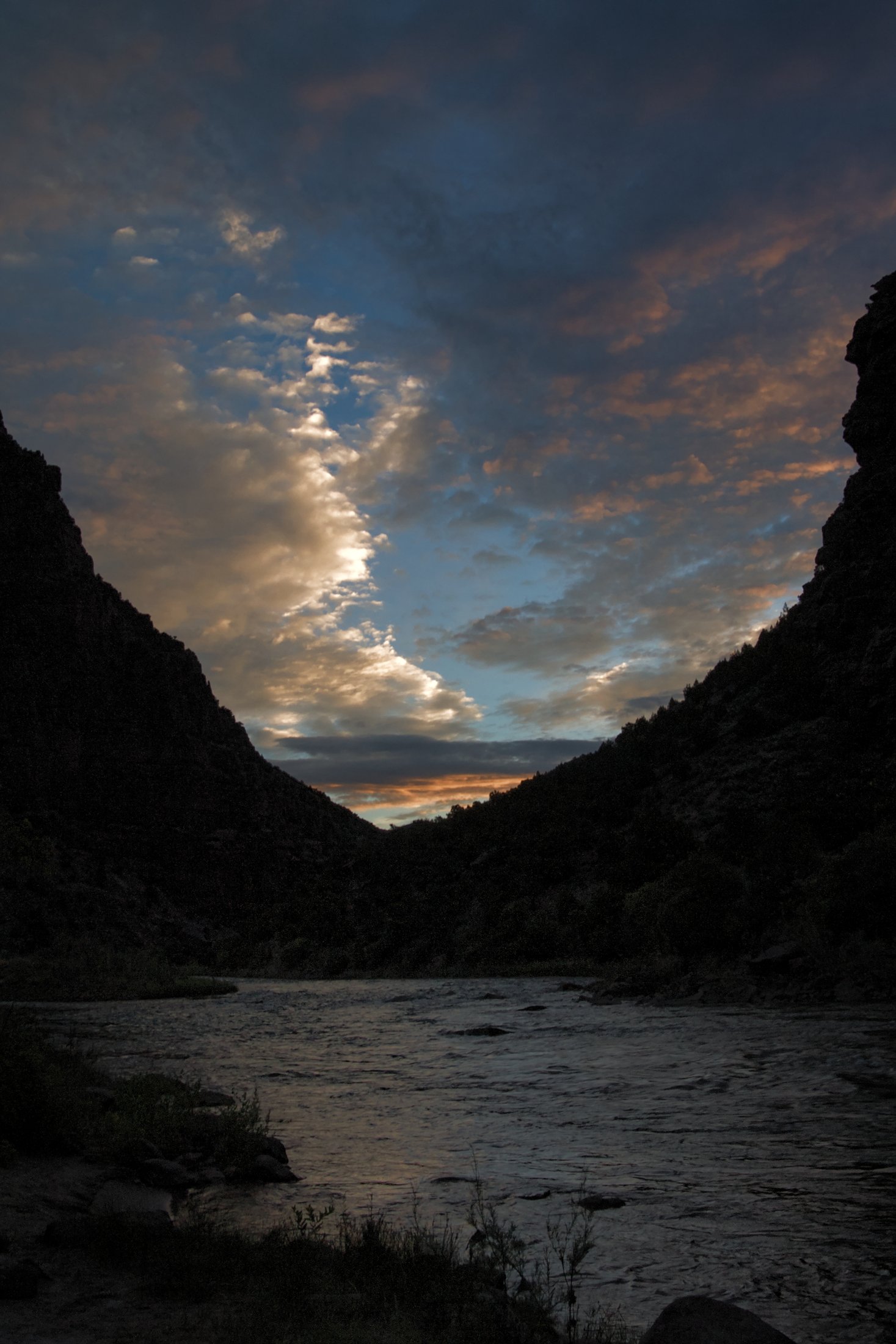
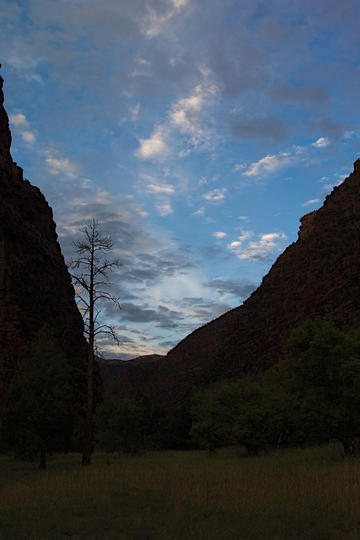
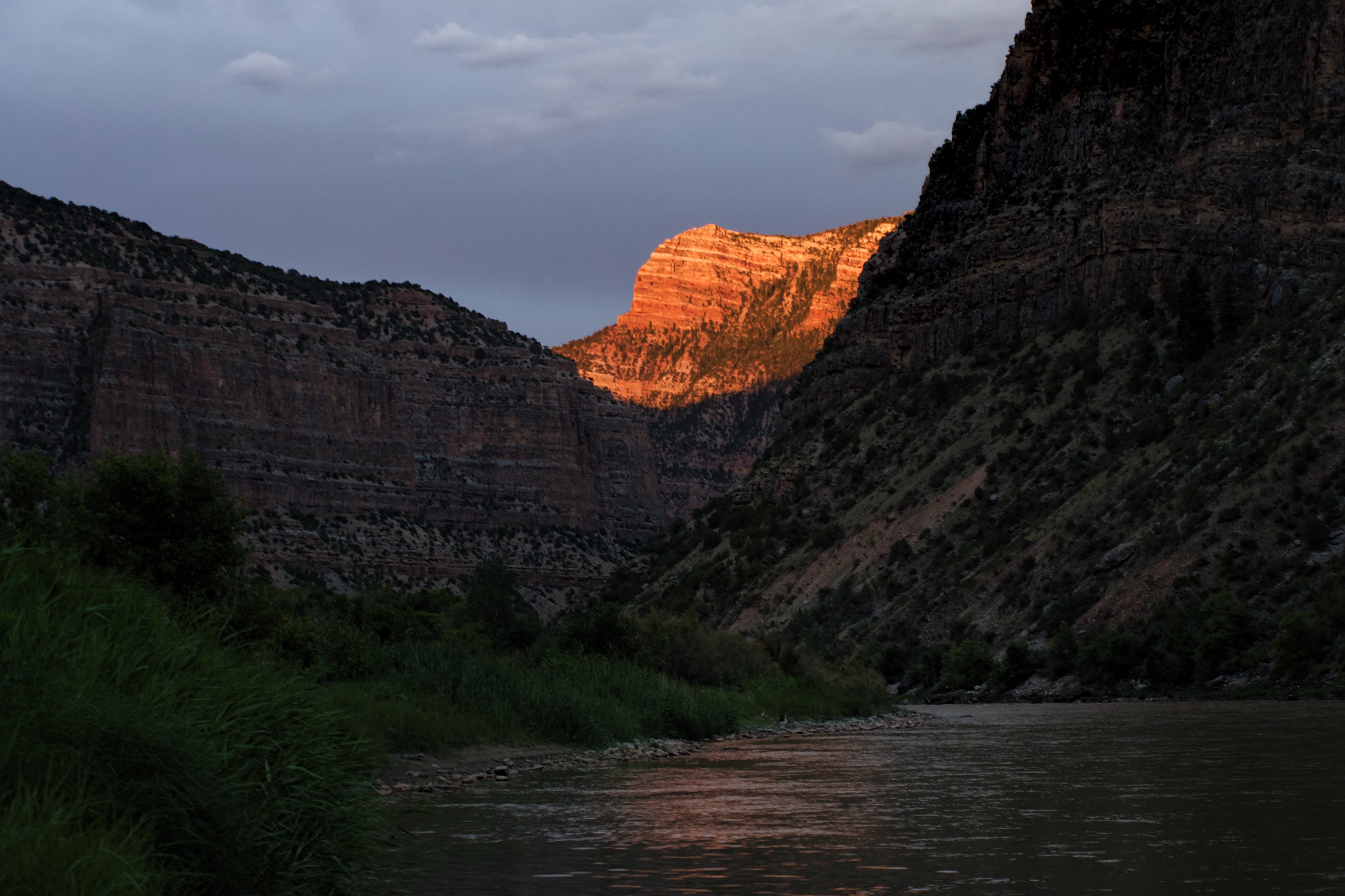
I skipped the hike and spent the evening lazing around the river, swimming, and watching the evening light fade across the canyon walls. True to Ranger Dave’s word, come nightfall we were defending our camp from several very aggressive skunks that seemed totally unconcerned about humans being around. One was half way in the trash bag when we noticed him and others had no problem marching up to the fire. Luckily none of them felt the need to spray anything.
The final day we ran several rapids early — Moonshine rapid and S.O.B. One of the paying customers got hung up on a rock for a few minutes, but otherwise we ran through them like we’d all been doing it for years. Then we slipped out of Lodore Canyon and into Island Park, a long, slow and rather hot stretch of flat water before you pass through Split Mountain.
Split Mountain is one of the most unusual examples of geology I’ve ever seen — the Green River actually splits a mountain in half, rather than going around it as rivers generally do. Split Mountain is one of those strange quirks of the planet, though there is actually a logical explanation. It’s all the Grand Canyon’s fault.
The flow of a river is largely determined by the terrain it crosses, but there are other factors, like the base level — the elevation of the river’s terminus.
As the Grand Canyon formed, the terminal elevation for the entire Colorado River basin — and consequently the Green River — was lowered. The Green River was, once upon a time, running well over the top of Split Mountain. When the base level changed — the elevation where the Green runs into the Colorado — the Green simply cut down through what we call Split Mountain.
The results are rather striking.
Just on the far side of Split Mountain was the end of our river journey. We took out near the Dinosaur Quarry (currently closed) and headed back to Grand Junction. Or rather our boats did. I went with the customers back to Steamboat Springs and from there, on to Rocky Mountain National Park.
Notes: You may have noticed I referred to paying customers a couple of times above. It’s true, I was free loading. Rafting trips aren’t cheap. Luckily for me, my friend Mike (who also dragged me to the Okefenokee Swamp) happens to work for Adventure Bound Rafting out of Grand Junction, Colorado.
When I mentioned I’d be in the area, he insisted I come out on the river. I’m probably biased, but having seen a couple other commercial companies on the river, I wouldn’t hesitate to say that Adventure Bound runs the best whitewater rafting trips in Colorado. I also, having now done a trip, and being aware of the costs, wouldn’t hesitate to pay for another.
-
The Yampa River is that last undammed major tributary in the Colorado River system. Because it isn’t dammed, it’s only runnable with big boats early in the year when the snowmelt is generating high enough water levels. Canoes and kayaks can do it year round (well, kayaks anyway, a canoe at high water might be a mistake), but if you want a guided trip you’ll need to do it before mid-July. Water levels do vary each year, generally speaking the Yampa is runnable into mid-July. ↩
-
The groover is so named because once upon a time it was simply an old ammo can and thus, left grooves in your legs when you sat on it. Technology has improved over the years, groovers now have toilet seats. Sort of. ↩
Thoughts?
Please leave a reply:
All comments are moderated, so you won’t see it right away. And please remember Kurt Vonnegut's rule: “god damn it, you’ve got to be kind.” You can use Markdown or HTML to format your comments. The allowed tags are
<b>, <i>, <em>, <strong>, <a>. To create a new paragraph hit return twice.